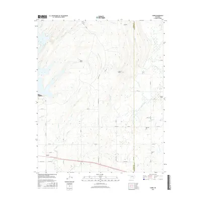
2016 Map of Farris
USGS Topo · Published 2016About this map
Farris serves as the primary community hub in this section of Oklahoma, situated along a network of section roads that define the rural landscape. The terrain transitions from the low-lying Impson Valley in the east toward prominent elevations like Long Mtn and Sugarloaf Hill, while the western portion is drained by Blue Cr and the multiple branches of Sandy Cr. This 2016 survey documents a sparsely populated area where the economy and community identity remain tied to the land and its drainage systems.
Find a feature on this map
56 named features on this map. Tap any name to fly to it.
Don’t see what you’re looking for? This feature index may not catch every label — zoom into the map to look around manually.
Map Details
Editions of this 2016 Farris Map
This is the sole edition of this map. No revisions or reprints were ever made.
Other maps of this area

1901 · Antlers
USGS Topo · 1:125,000

1912 · Antlers
USGS Topo · 1:125,000

1925 · Antlers
USGS Topo · 1:125,000

1950 · Mcalester
USGS Topo · 1:250,000

1957 · Lane NW
USGS Topo · 1:24,000

1957 · Farris
USGS Topo · 1:24,000

1957 · Moyers
USGS Topo · 1:24,000

1957 · Jumbo
USGS Topo · 1:24,000

1957 · Lane
USGS Topo · 1:24,000

1957 · Lane NE
USGS Topo · 1:24,000