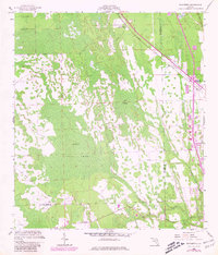
1956 Map of Favoretta
USGS Topo · Published 1980About this map
Hull Cypress Swamp dominates this landscape on the border of Flagler and Volusia counties, revealing a complex network of wetlands and wooded terrain during the mid-20th century. The settlement of Favoretta (Favorita Sta) stands as a key rail point along the Florida East Coast line, which runs parallel to the Florida East Coast Telephone corridor. Further south, the map documents the northern fringes of Ormond Beach and the planned layout of National Gardens. Transport routes like the Dixie Highway and Tomoka Road navigate around the expansive Lake Swamp and follow the course of the Little Tomoka River. This survey captures the region just as modern infrastructure began to weave through the coastal lowlands, maintaining a balance between developed transit corridors and the natural hydrology of the Florida cypress interior.
Find a feature on this map
14 named features on this map. Tap any name to fly to it.
Don’t see what you’re looking for? This feature index may not catch every label — zoom into the map to look around manually.
Map Details
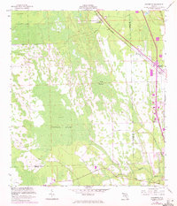
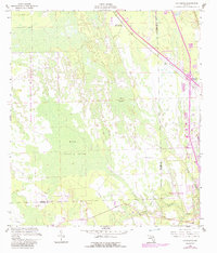
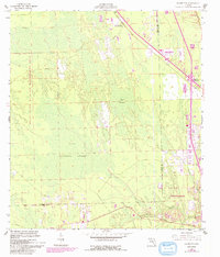
Editions of this 1956 Favoretta Map
5 editions found
Other maps of this area

1937 · Ormond
USGS Topo · 1:48,000

1944 · Ormond
USGS Topo · 1:62,500

1952 · Daytona Beach
USGS Topo · 1:24,000

1954 · Daytona Beach
USGS Topo · 1:250,000

1956 · Favoretta
USGS Topo · 1:24,000

1956 · Flagler Beach East
USGS Topo · 1:24,000

1956 · Flagler Beach West
USGS Topo · 1:24,000

1956 · Ormond Beach
USGS Topo · 1:24,000

1958 · Daytona Beach
USGS Topo · 1:250,000

1962 · Daytona Beach NW
USGS Topo · 1:24,000