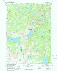
1968 Map of Fayette Lake
USGS Topo · Published 1991About this map
Fayette Lake and its surrounding high-altitude basin are preserved here during a 1968 field survey of the Bridger National Forest. The landscape is defined by its complex hydrology, where Pole Creek connects a string of glacial features including Half Moon Lake, Burnt Lake, and Meadow Lake. Human presence is largely limited to recreational and management infrastructure, such as the Upper Half Moon Campground and a Gaging Sta on the creek. The map details the transition into the Bridger Wilderness, marked by the Wilderness Boundary and a network of pack trails like the Surveyor Park Trail. Significant vertical relief is anchored by Fortification Mountain and Half Moon Mountain, while the inclusion of Blacks Cabin provides a rare point of named historical structure in an otherwise remote backcountry setting.
Find a feature on this map
36 named features on this map. Tap any name to fly to it.
Don’t see what you’re looking for? This feature index may not catch every label — zoom into the map to look around manually.
Map Details
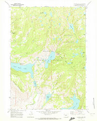
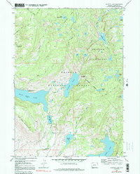
Editions of this 1968 Fayette Lake Map
3 editions found
Other maps of this area

1909 · Fremont Peak
USGS Topo · 1:125,000

1955 · Thermopolis
USGS Topo · 1:250,000

1955 · Lander
USGS Topo · 1:250,000

1958 · Lander
USGS Topo · 1:250,000

1958 · Thermopolis
USGS Topo · 1:250,000

1961 · Lander
USGS Topo · 1:250,000

1962 · Thermopolis
USGS Topo · 1:250,000

1964 · Boulder Lake
USGS Topo · 1:24,000
1964 · Pinedale
USGS Topo · 1:24,000

1964 · Fremont Lake South
USGS Topo · 1:24,000