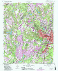
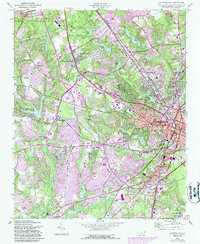
1957 Map of Fayetteville
USGS Topo · Published 1987About this map
Fayetteville State University anchors the eastern edge of this landscape, reflecting a period of mid-century urban expansion and institutional growth. The urban core of Fayetteville is densely detailed with civic infrastructure, including the Courthouse, City Hall, and health facilities like Highsmith Hospital and the Sanatorium. Outside the center, the map documents the emergence of suburban patterns, with scattered settlements such as Bonnie Doone, Skibo, and Lakedale interspersed among winding creeks and lakes.
Find a feature on this map
74 named features on this map. Tap any name to fly to it.
Don’t see what you’re looking for? This feature index may not catch every label — zoom into the map to look around manually.
Map Details
Editions of this 1957 Fayetteville Map
5 editions found
Other maps of this area

1948 · Fayetteville
USGS Topo · 1:62,500

1948 · Clifdale
USGS Topo · 1:62,500

1948 · Slocomb
USGS Topo · 1:24,000

1948 · Clifdale
USGS Topo · 1:24,000

1949 · Vander
USGS Topo · 1:24,000

1950 · Clifdale
USGS Topo · 1:24,000

1950 · Fayetteville
USGS Topo · 1:24,000

1950 · Manchester
USGS Topo · 1:24,000

1950 · Slocomb
USGS Topo · 1:24,000

1951 · Clifdale
USGS Topo · 1:62,500