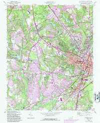
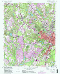
1957 Map of Fayetteville
USGS Topo · Published 1987About this map
Fayetteville State University and the Fort Bragg Military Reservation anchor this mid-century look at the regional hub of Fayetteville. The map captures a period of significant postwar expansion, evidenced by the dense cluster of hospitals, schools, and institutional landmarks like the Newbold Training Sch and Highsmith Hospital. Transportation networks are dominated by the Aberdeen and Rockfish and Cape Fear Railways, which helped facilitate the movement of people and materials between the military installations and the city center.
Find a feature on this map
68 named features on this map. Tap any name to fly to it.
Don’t see what you’re looking for? This feature index may not catch every label — zoom into the map to look around manually.
Map Details
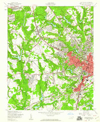
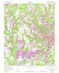
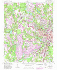
Editions of this 1957 Fayetteville Map
5 editions found
Other maps of this area

1948 · Fayetteville
USGS Topo · 1:62,500

1948 · Clifdale
USGS Topo · 1:62,500

1948 · Slocomb
USGS Topo · 1:24,000

1948 · Clifdale
USGS Topo · 1:24,000

1949 · Vander
USGS Topo · 1:24,000

1950 · Clifdale
USGS Topo · 1:24,000

1950 · Fayetteville
USGS Topo · 1:24,000

1950 · Manchester
USGS Topo · 1:24,000

1950 · Slocomb
USGS Topo · 1:24,000

1951 · Clifdale
USGS Topo · 1:62,500