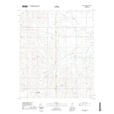
2020 Map of Fearns Springs
USGS Topo · Published 2020About this map
The Winston and Noxubee County border landscape is defined by the headwaters of numerous creeks, including Hashuqua Creek and Dancing Rabbit Creek. The settlement of Fearns Springs anchors the southwestern portion of the map, situated near several smaller family and community burial sites. The presence of Dancing Rabbit Springs in the southeast points to the deep indigenous and early frontier history of this region, which was famously the site of a pivotal treaty negotiation.
Find a feature on this map
46 named features on this map. Tap any name to fly to it.
Don’t see what you’re looking for? This feature index may not catch every label — zoom into the map to look around manually.
Map Details
Editions of this 2020 Fearns Springs Map
This is the sole edition of this map. No revisions or reprints were ever made.
Other maps of this area

1953 · Meridian
USGS Topo · 1:250,000

1953 · West Point
USGS Topo · 1:250,000

1957 · Meridian
USGS Topo · 1:250,000

1958 · West Point
USGS Topo · 1:250,000

1962 · Vernon
USGS Topo · 1:24,000

1962 · Preston
USGS Topo · 1:24,000

1963 · West Point
USGS Topo · 1:250,000

1963 · Gholson
USGS Topo · 1:24,000

1965 · Meridian
USGS Topo · 1:250,000
1973 · Boon
USGS Topo · 1:24,000