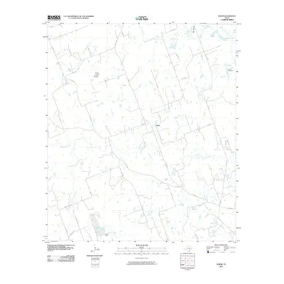
2010 Map of Fedor
USGS Topo · Published 2010About this map
Fedor serves as the central focal point of this rural Lee County landscape, situated at the junction of several county roads including Co RD 323 and Co RD 346. The terrain is defined by an intricate network of waterways, most notably the winding paths of Middle Yegua Creek and West Yegua Creek, which feed into various small lakes and reservoirs across the quadrangle. For genealogists and local historians, the presence of the Melcher Cemetery and Schroeder Cemetery north of the main settlement offers specific points for tracing early family roots in the area. The map illustrates a land largely dedicated to agriculture and ranching, evidenced by the numerous stock ponds and small dams like Field Lake Dam and Lincoln Dam. The road network, including the FM 1624 RD, provides a clear view of how these rural communities remained connected through the early 21st century.
Find a feature on this map
48 named features on this map. Tap any name to fly to it.
Don’t see what you’re looking for? This feature index may not catch every label — zoom into the map to look around manually.
Map Details
Editions of this 2010 Fedor Map
This is the sole edition of this map. No revisions or reprints were ever made.
Other maps of this area

1885 · Bastrop
USGS Topo · 1:125,000

1893 · Bastrop
USGS Topo · 1:125,000

1904 · Bastrop
USGS Topo · 1:125,000

1919 · Giddings
USGS Topo · 1:62,500

1919 · Dime Box
USGS Topo · 1:62,500

1948 · Smithville
USGS Topo · 1:62,500

1948 · Lexington
USGS Topo · 1:62,500

1950 · Lexington
USGS Topo · 1:62,500

1950 · Smithville
USGS Topo · 1:62,500

1954 · Austin
USGS Topo · 1:250,000