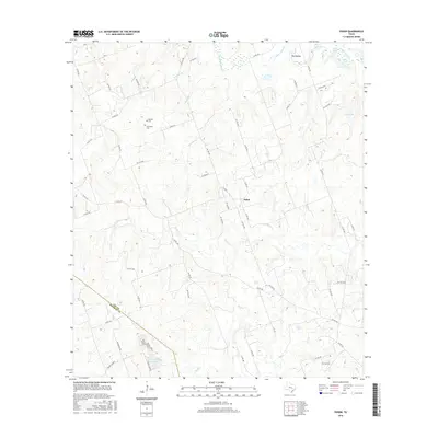
2016 Map of Fedor
USGS Topo · Published 2016About this map
Fedor anchors this rural landscape at the crossroads of FM 1624 and Co RD 108, situated within a network of creek drainages in Lee County. The settlement patterns here are defined by scattered family farms and quiet landmarks, including the Melcher Cem and Schroeder Cem, which serve as vital points of interest for genealogists tracing regional roots. The geography is characterized by numerous small water bodies such as Shaw Lake, Mourn Lake, and Lincoln Lake in the south, while the terrain is carved by the Middle Yegua Cr, W Yegua Cr, and Bluff Cr. A distinct lack of dense urbanization highlights the area's enduring rural character, preserved even as the modern road network expanded. The boundary between Lee Co and Bastrop Co is visible in the southwestern corner, following the path of Long Br.
Find a feature on this map
68 named features on this map. Tap any name to fly to it.
Don’t see what you’re looking for? This feature index may not catch every label — zoom into the map to look around manually.
Map Details
Editions of this 2016 Fedor Map
This is the sole edition of this map. No revisions or reprints were ever made.
Other maps of this area

1885 · Bastrop
USGS Topo · 1:125,000

1893 · Bastrop
USGS Topo · 1:125,000

1904 · Bastrop
USGS Topo · 1:125,000

1919 · Giddings
USGS Topo · 1:62,500

1919 · Dime Box
USGS Topo · 1:62,500

1948 · Smithville
USGS Topo · 1:62,500

1948 · Lexington
USGS Topo · 1:62,500

1950 · Lexington
USGS Topo · 1:62,500

1950 · Smithville
USGS Topo · 1:62,500

1954 · Austin
USGS Topo · 1:250,000