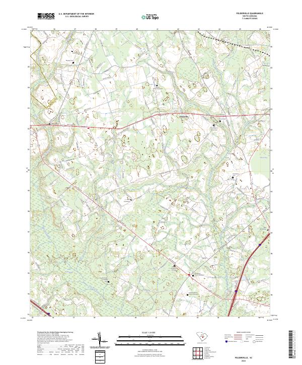
2024 Map of Felderville
USGS Topo · Published 2024About this map
The boundary between Calhoun Co and Orangeburg Co bisects this landscape of dense wetlands and rural settlements in South Carolina. The community of Felderville sits central to a network of local roads like Five Chop Rd, surrounded by numerous historic burial sites and churches that anchor the local genealogy. To the northeast, the settlement of Parler marks the edge of the quadrangle, while the southern reaches are dominated by the significant hydrologic systems of Four Hole Swamp and Little Bull Swamp.
Find a feature on this map
118 named features on this map. Tap any name to fly to it.
Don’t see what you’re looking for? This feature index may not catch every label — zoom into the map to look around manually.
Map Details
Editions of this 2024 Felderville Map
This is the sole edition of this map. No revisions or reprints were ever made.
Other maps of this area

1920 · Eutawville
USGS Topo · 1:48,000

1920 · Bowman
USGS Topo · 1:48,000

1921 · Bowman
USGS Topo · 1:62,500

1921 · Eutawville
USGS Topo · 1:62,500

1943 · Bowman
USGS Topo · 1:62,500

1943 · Orangeburg
USGS Topo · 1:125,000

1943 · Eutawville
USGS Topo · 1:62,500

1946 · Elloree
USGS Topo · 1:62,500

1954 · Augusta
USGS Topo · 1:250,000

1957 · Augusta
USGS Topo · 1:250,000