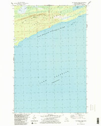
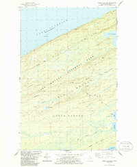
1985 Map of Feldtmann Ridge
USGS Topo · Published 1986About this map
Isle Royale National Park dominates this mid-1980s topography, illustrating the southern shoreline of the island where the wilderness meets the cold waters of Lake Superior. The landscape is defined by the prominent Feldtmann Ridge, which runs parallel to the coast, rising above the surrounding timber and wetlands. At its height, the Feldtmann Lookout Tower serves as a critical vantage point for monitoring the island's interior.
Find a feature on this map
13 named features on this map. Tap any name to fly to it.
Don’t see what you’re looking for? This feature index may not catch every label — zoom into the map to look around manually.
Map Details
Editions of this 1985 Feldtmann Ridge Map
2 editions found
Other maps of this area

1958 · Hancock
USGS Topo · 1:250,000

1960 · Hancock
USGS Topo · 1:250,000

1961 · Hancock
USGS Topo · 1:250,000

1966 · Hancock
USGS Topo · 1:250,000

1985 · Siskiwit Bay
USGS Topo · 1:100,000

1985 · Grand Portage
USGS Topo · 1:100,000
1985 · Feldtmann Lake
USGS Topo · 1:24,000
1985 · Windigo
USGS Topo · 1:24,000
1985 · Sugar Mountain
USGS Topo · 1:24,000
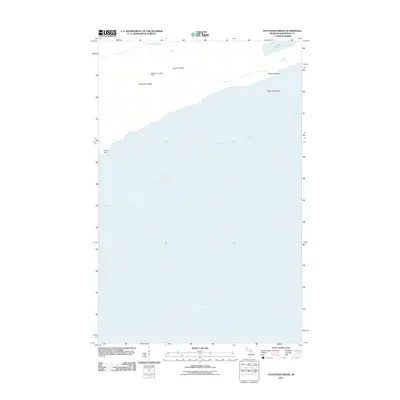
2011 · Feldtmann Ridge
USGS Topo · 1:24,000