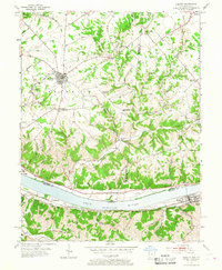
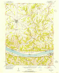
1953 Map of Felicity
USGS Topo · Published 1967About this map
The Ohio River serves as the primary corridor of commerce and geography on this 1953 survey, separating the Kentucky shoreline from the river towns of Ohio. Along the northern bank, historic settlements like Utopia and Rural occupy the fertile terrace, while Felicity serves as a hub for the upland agricultural landscape of Clermont County. The map captures a moment of transition for local education, noting both Myers Sch and Barr Sch as abandoned, reflecting the shift away from one-room schoolhouses in the mid-20th century.
Find a feature on this map
47 named features on this map. Tap any name to fly to it.
Don’t see what you’re looking for? This feature index may not catch every label — zoom into the map to look around manually.
Map Details
Editions of this 1953 Felicity Map
2 editions found
Other maps of this area

1915 · Maysville
USGS Topo · 1:62,500

1919 · Maysville
USGS Topo · 1:62,500

1928 · Higginsport
USGS Topo · 1:48,000

1931 · Felicity
USGS Topo · 1:62,500

1931 · Higginsport
USGS Topo · 1:62,500

1952 · Germantown
USGS Topo · 1:24,000

1952 · Higginsport
USGS Topo · 1:24,000

1952 · Berlin
USGS Topo · 1:24,000

1952 · Brooksville
USGS Topo · 1:24,000

1953 · Laurel
USGS Topo · 1:24,000