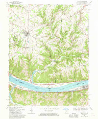
1968 Map of Felicity
USGS Topo · Published 1970About this map
The Ohio River dominates the southern landscape of this 1968 study, serving as the border between Clermont County and the Kentucky shore. Along its banks, the map records established river settlements like Rural, Utopia, and Augusta, where the Chesapeake and Ohio railroad tracks parallel the water. Inland, the terrain rises into the dissected plateaus of Shinkles Ridge, cut by the deep valleys of Bullskin Creek and its many branches.
Find a feature on this map
45 named features on this map. Tap any name to fly to it.
Don’t see what you’re looking for? This feature index may not catch every label — zoom into the map to look around manually.
Map Details
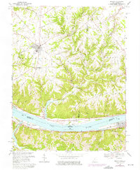
Editions of this 1968 Felicity Map
2 editions found
Other maps of this area

1915 · Maysville
USGS Topo · 1:62,500

1919 · Maysville
USGS Topo · 1:62,500

1928 · Higginsport
USGS Topo · 1:48,000

1931 · Felicity
USGS Topo · 1:62,500

1931 · Higginsport
USGS Topo · 1:62,500

1952 · Germantown
USGS Topo · 1:24,000

1952 · Higginsport
USGS Topo · 1:24,000

1952 · Berlin
USGS Topo · 1:24,000

1952 · Brooksville
USGS Topo · 1:24,000

1953 · Laurel
USGS Topo · 1:24,000