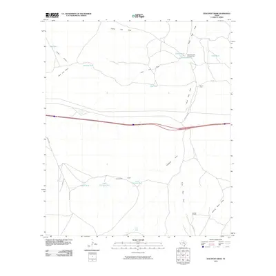
2010 Map of Fencepost Draw
USGS Topo · Published 2010About this map
Fencepost Draw and its surrounding drainage network define this arid West Texas landscape, where water management is central to the cattle ranching economy. The presence of the Reynolds Cattle Company Dam, along with numerous reservoirs such as Big Charlie Tank and Democrat Tank, illustrates the essential infrastructure required to sustain livestock in this environment. These features, often named with a touch of regional character like Hard Luck Draw and Jake Tank, trace the movement of water and cattle across the high plains.
Find a feature on this map
24 named features on this map. Tap any name to fly to it.
Don’t see what you’re looking for? This feature index may not catch every label — zoom into the map to look around manually.
Map Details
Editions of this 2010 Fencepost Draw Map
This is the sole edition of this map. No revisions or reprints were ever made.
Other maps of this area

1894 · Valentine
USGS Topo · 1:125,000

1897 · Valentine
USGS Topo · 1:125,000

1928 · Kent
USGS Topo · 1:125,000

1943 · Valentine
USGS Topo · 1:125,000

1954 · Van Horn
USGS Topo · 1:250,000

1958 · Van Horn
USGS Topo · 1:250,000

1959 · Marfa
USGS Topo · 1:250,000

1965 · Marfa
USGS Topo · 1:250,000
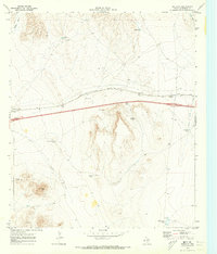
1970 · Boracho
USGS Topo · 1:24,000
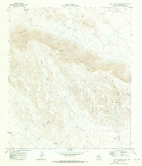
1970 · East Hunter Canyon
USGS Topo · 1:24,000