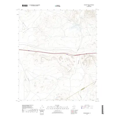
2019 Map of Fencepost Draw
USGS Topo · Published 2019About this map
Horse Camp Spring and a series of livestock tanks define the high desert character of this West Texas landscape, where the Culberson Co Jeff Davis Co line divides the terrain. This area is heavily shaped by an intricate network of ephemeral watercourses including Fencepost Draw, Herds Pass Draw, and the curiously named Hard Luck Draw. These drainages lead into deep relief features like Hunter Canyon, illustrating the essential role of water management in this arid ranching country.
Find a feature on this map
22 named features on this map. Tap any name to fly to it.
Don’t see what you’re looking for? This feature index may not catch every label — zoom into the map to look around manually.
Map Details
Editions of this 2019 Fencepost Draw Map
This is the sole edition of this map. No revisions or reprints were ever made.
Other maps of this area

1894 · Valentine
USGS Topo · 1:125,000

1897 · Valentine
USGS Topo · 1:125,000

1928 · Kent
USGS Topo · 1:125,000

1943 · Valentine
USGS Topo · 1:125,000

1954 · Van Horn
USGS Topo · 1:250,000

1958 · Van Horn
USGS Topo · 1:250,000

1959 · Marfa
USGS Topo · 1:250,000

1965 · Marfa
USGS Topo · 1:250,000
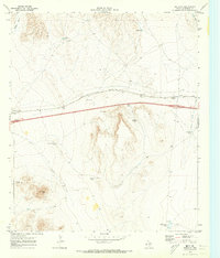
1970 · Boracho
USGS Topo · 1:24,000
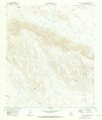
1970 · East Hunter Canyon
USGS Topo · 1:24,000