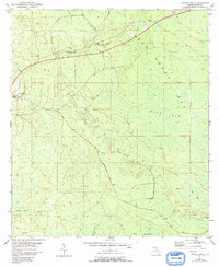
1954 Map of Fenholloway
USGS Topo · Published 1993About this map
San Pedro Bay dominates this Taylor County landscape, revealing an intricate network of wetlands and sogs in the mid-1950s. The small settlement of Fenholloway serves as a primary point of reference, situated near the banks of the Fenholloway River. Evidence of former timber operations or local transport is etched into the terrain via an Old RR Grade that cuts across the northern section toward the settlement of Smith.
Find a feature on this map
17 named features on this map. Tap any name to fly to it.
Don’t see what you’re looking for? This feature index may not catch every label — zoom into the map to look around manually.
Map Details
Editions of this 1954 Fenholloway Map
3 editions found
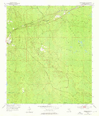
Other maps of this area

1954 · Fenholloway
USGS Topo · 1:24,000

1954 · Day SE
USGS Topo · 1:24,000

1954 · Day
USGS Topo · 1:24,000

1954 · Cooks Hammock
USGS Topo · 1:24,000

1954 · Warrior Swamp
USGS Topo · 1:24,000

1954 · Salem
USGS Topo · 1:24,000

1954 · Boyd
USGS Topo · 1:24,000

1954 · Day NW
USGS Topo · 1:24,000

1954 · Gainesville
USGS Topo · 1:250,000

1954 · Valdosta
USGS Topo · 1:250,000