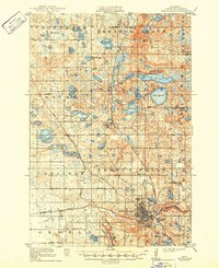
1913 Map of Fergus Falls
USGS Topo · Published 1949About this map
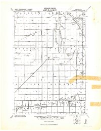
Fergus Falls serves as the regional hub in this early twentieth-century survey, situated at the confluence of the Otter Tail River and the Great Northern and Northern Pacific railroads. The town's layout is dominated by the sprawling grounds of the State Insane Asylum to the north and numerous small lakes like Opperman Lake and One-mile Lake. To the north, the Pelican River snakes through the townships of Elizabeth and Erhards Grove, connecting smaller settlements such as Erhard and Elizabeth.
Find a feature on this map
66 named features on this map. Tap any name to fly to it.
Don’t see what you’re looking for? This feature index may not catch every label — zoom into the map to look around manually.
Map Details
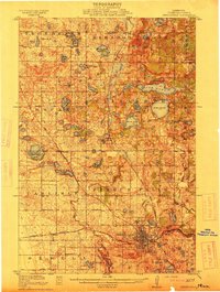
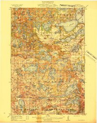
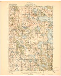
Editions of this 1913 Fergus Falls Map
3 editions found
Other maps of this area

1910 · Wendell
USGS Topo · 1:62,500

1912 · Vergas
USGS Topo · 1:62,500

1913 · Ashby
USGS Topo · 1:62,500

1913 · Fergus Falls
USGS Topo · 1:62,500

1913 · Wendell
USGS Topo · 1:62,500

1914 · Pelican Rapids
USGS Topo · 1:62,500
1915 · Underwood
USGS Topo · 1:62,500

1915 · Vergas
USGS Topo · 1:62,500
1917 · Pelican Rapids
USGS Topo · 1:62,500
1919 · Rothsay
USGS Topo · 1:62,500