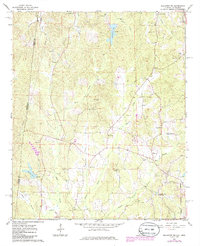
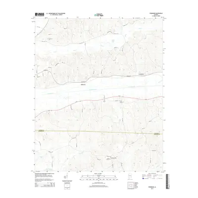
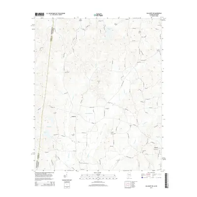
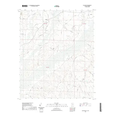
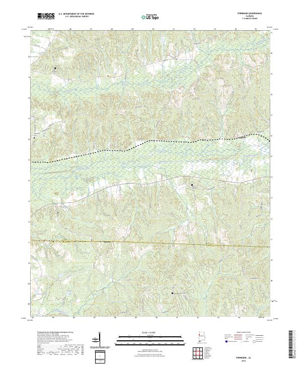
1967 Map of Fernbank
USGS Topo · Published 1986About this map
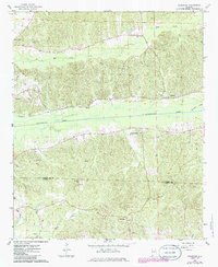
Fernbank sits as the central point of this West Alabama landscape, positioned where the Southern railroad tracks parallel the broad valley of Luxapallila Creek. The settlement pattern in the late 1960s is defined by a dense network of country churches, including Keeton Chapel, Old Harmony Ch, and Spring Hill Ch, many of which feature adjacent Cem sites essential for local genealogical research.
Find a feature on this map
19 named features on this map. Tap any name to fly to it.
Don’t see what you’re looking for? This feature index may not catch every label — zoom into the map to look around manually.
Map Details
Editions of this 1967 Fernbank Map
2 editions found
Historical Maps of Fernbank Through Time
24 maps found
1967 Fernbank
Lamar County, AL
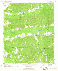
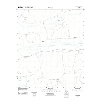
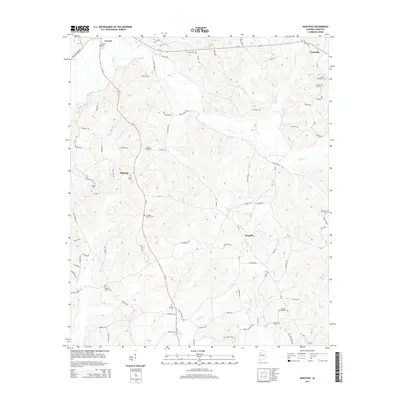
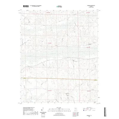
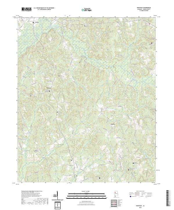
1967 Hightogy
Lamar County, AL
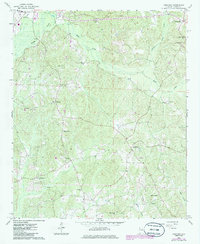
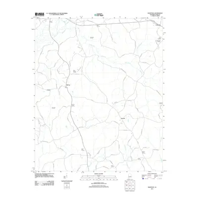
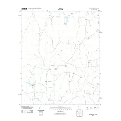
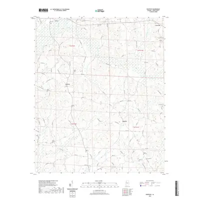
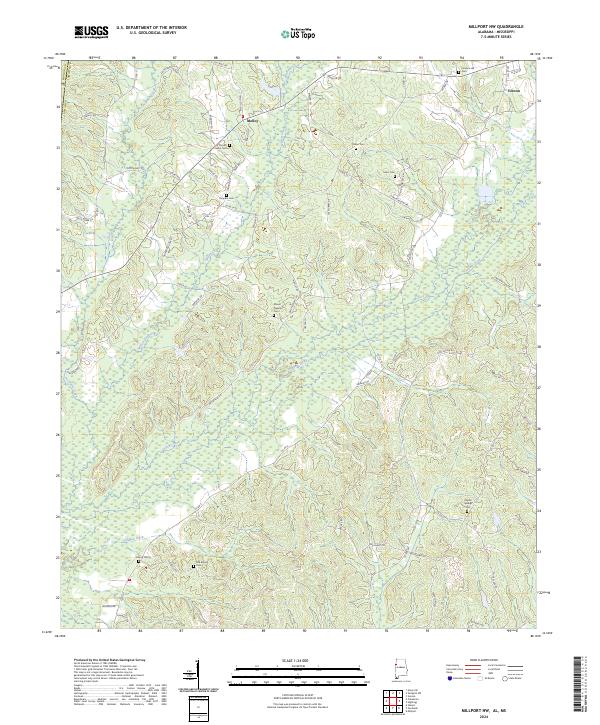
1967 Millport NW
Lamar County, AL
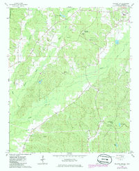
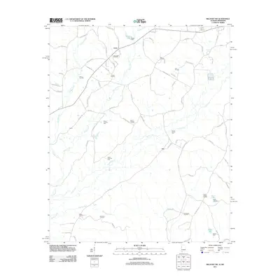
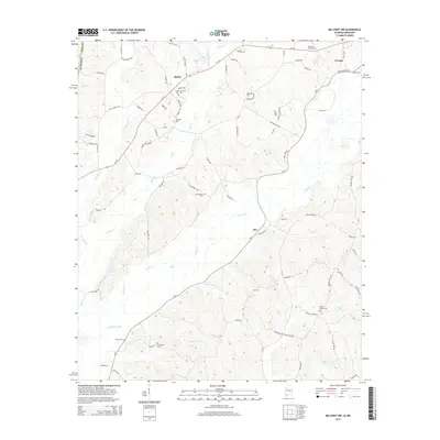
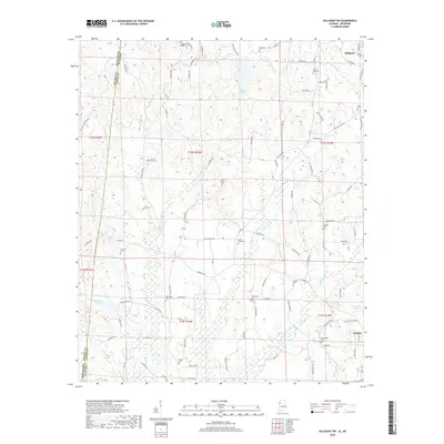
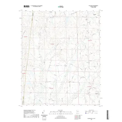
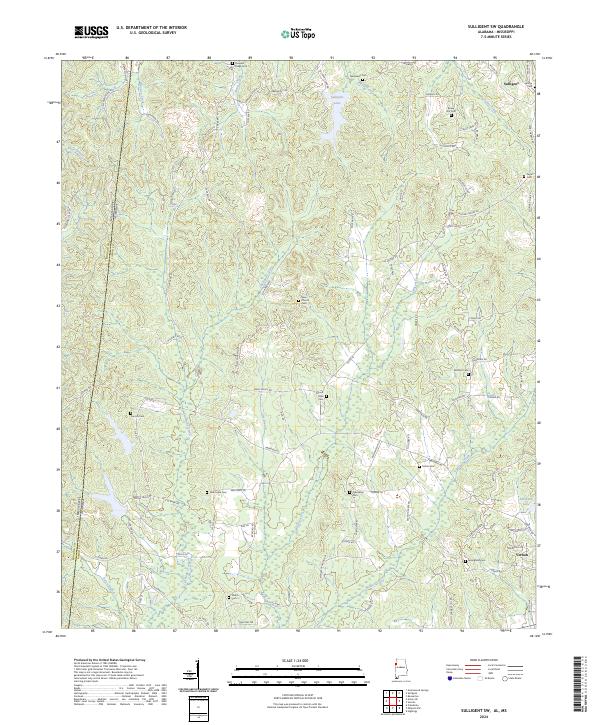
1967 Sulligent SW
Lamar County, AL
2011 Fernbank
Lamar County, AL
2011 Hightogy
Lamar County, AL
2011 Millport NW
Lamar County, AL
2011 Sulligent SW
Lamar County, AL
2014 Fernbank
Lamar County, AL
2014 Hightogy
Lamar County, AL
2014 Millport NW
Lamar County, AL
2014 Sulligent SW
Lamar County, AL
2018 Fernbank
Lamar County, AL
2018 Hightogy
Lamar County, AL
2018 Millport NW
Lamar County, AL
2018 Sulligent SW
Lamar County, AL
2020 Fernbank
Lamar County, AL
2020 Hightogy
Lamar County, AL
2020 Millport NW
Lamar County, AL
2020 Sulligent SW
Lamar County, AL
2024 Fernbank
Lamar County, AL
2024 Hightogy
Lamar County, AL
2024 Millport NW
Lamar County, AL
2024 Sulligent SW
Lamar County, AL