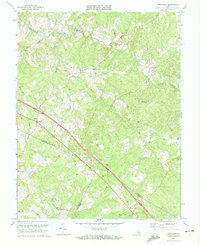
1970 Map of Ferncliff
USGS Topo · Published 1972About this map
South Anna River winds through the northern reaches of this rural Virginia landscape, where small crossroads communities and country parishes define the local geography. The map documents a period of modern transit development, centered on the interstate corridor that cuts through the heart of the region, featuring a dedicated Rest Area. This infrastructure exists alongside older nodes of commerce and community like Byrd Mill, Butlers Store, and the intersection at Bells Crossroads.
Find a feature on this map
30 named features on this map. Tap any name to fly to it.
Don’t see what you’re looking for? This feature index may not catch every label — zoom into the map to look around manually.
Map Details
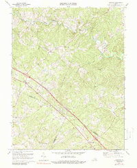
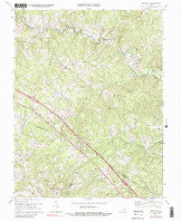
Editions of this 1970 Ferncliff Map
Other maps of this area

1887 · Spottsylvania
USGS Topo · 1:125,000

1890 · Goochland
USGS Topo · 1:125,000

1891 · Palmyra
USGS Topo · 1:125,000

1892 · Spottsylvania
USGS Topo · 1:125,000

1892 · Goochland
USGS Topo · 1:125,000

1892 · Gordonsville
USGS Topo · 1:125,000

1895 · Palmyra
USGS Topo · 1:125,000

1897 · Palmyra
USGS Topo · 1:125,000

1942 · Mineral
USGS Topo · 1:31,680

1942 · Pendleton
USGS Topo · 1:24,000