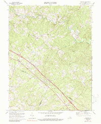
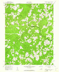
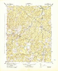
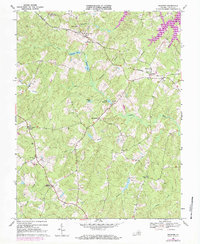
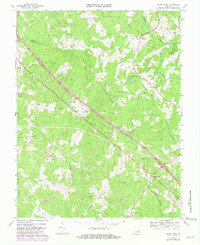
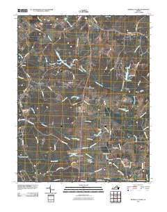
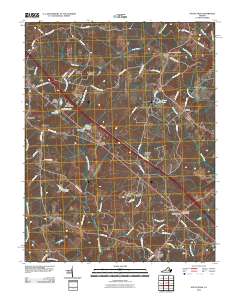
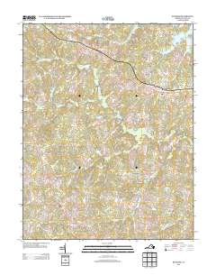
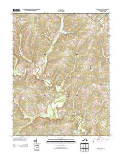
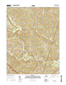
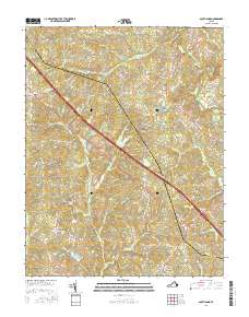
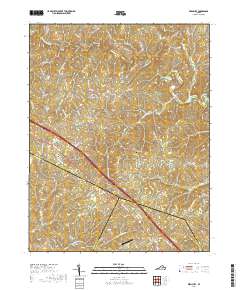
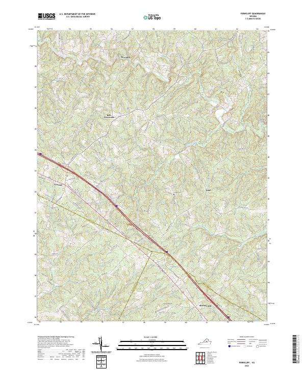
1970 Map of Ferncliff
USGS Topo · Published 1988About this map
The South Anna River winds through this rural landscape along the boundary where Louisa, Fluvanna, and Goochland counties meet. In the early 1970s, the area's development centered on small crossroads settlements and community hubs like Bells Crossroads, Butlers Store, and Shannon Hill. The prevalence of community landmarks such as Byrd Chapel, Macedonia Ch, and Galilee Ch underscores a deep-rooted social fabric tied to local parishes and family-named centers like Byrd Mill. Interstate 64 bisects the terrain, featuring a Rest Area that represents the mid-century modernization of this Piedmont region. The topography is defined by numerous small waterways, including Rattlesnake Run and Venable Creek, which drain into the river system. This survey documents the transition from a purely agricultural and mill-based economy toward the infrastructure of the interstate era while preserving the names of old country stores and church sites.
Find a feature on this map
27 named features on this map. Tap any name to fly to it.
Don’t see what you’re looking for? This feature index may not catch every label — zoom into the map to look around manually.
Map Details
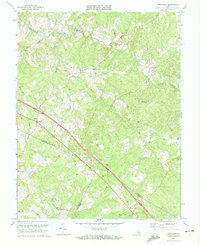
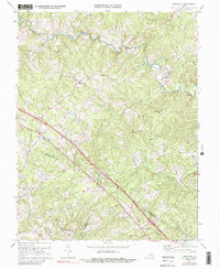
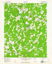
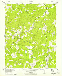
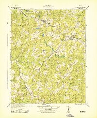
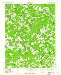
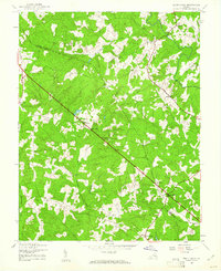
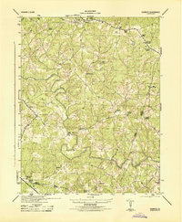
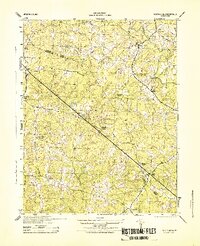
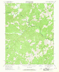
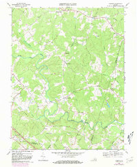
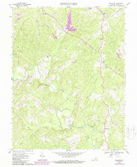
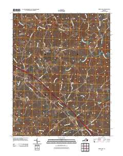
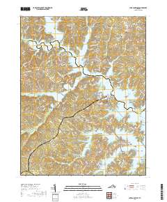
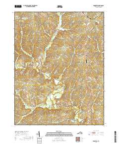
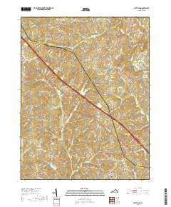
Editions of this 1970 Ferncliff Map
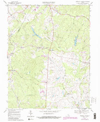
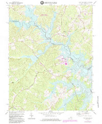
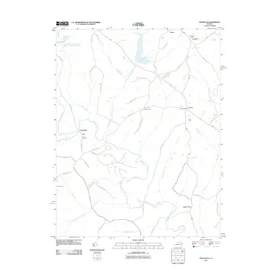
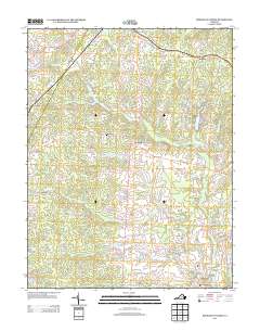
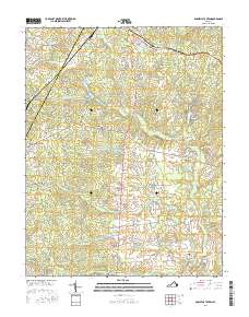
Historical Maps of Shannon Hill Through Time
53 maps found
1942 Buckner
Louisa County, VA
1942 Contrary Creek
Louisa County, VA
1942 Pendleton
Louisa County, VA
1943 Buckner
Louisa County, VA
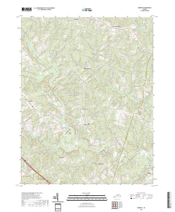
1943 Dabneys
Louisa County, VA
1943 Pendleton
Louisa County, VA
1943 South Anna
Louisa County, VA
1944 Dabneys
Louisa County, VA
1944 South Anna
Louisa County, VA
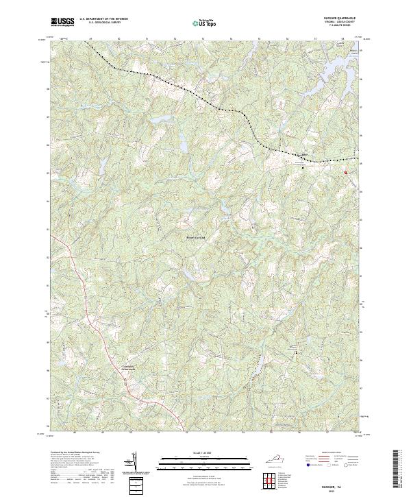
1968 Buckner
Louisa County, VA
1968 Contrary Creek
Louisa County, VA
1968 Dabneys
Louisa County, VA
1968 Pendleton
Louisa County, VA
1968 South Anna
Louisa County, VA
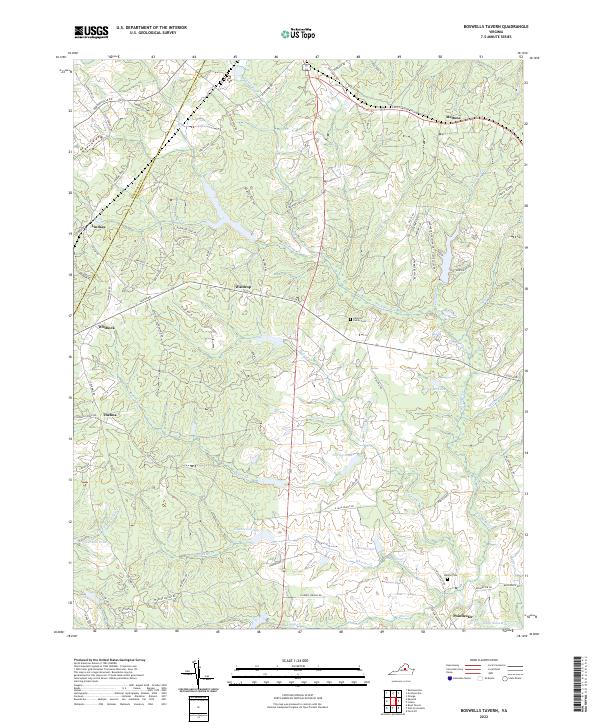
1970 Boswells Tavern
Louisa County, VA
1970 Ferncliff
Louisa County, VA
1973 Lake Anna West
Louisa County, VA
1977 Boswells Tavern
Louisa County, VA
2010 Boswells Tavern
Louisa County, VA
2010 Buckner
Louisa County, VA
2010 Dabneys
Louisa County, VA
2010 Lake Anna West
Louisa County, VA
2010 South Anna
Louisa County, VA
2011 Ferncliff
Louisa County, VA
2011 Pendleton
Louisa County, VA
2013 Boswells Tavern
Louisa County, VA
2013 Buckner
Louisa County, VA
2013 Dabneys
Louisa County, VA
2013 Ferncliff
Louisa County, VA
2013 Lake Anna West
Louisa County, VA
2013 Pendleton
Louisa County, VA
2013 South Anna
Louisa County, VA
2016 Boswells Tavern
Louisa County, VA
2016 Buckner
Louisa County, VA
2016 Dabneys
Louisa County, VA
2016 Ferncliff
Louisa County, VA
2016 Lake Anna West
Louisa County, VA
2016 Pendleton
Louisa County, VA
2016 South Anna
Louisa County, VA
2019 Boswells Tavern
Louisa County, VA
2019 Buckner
Louisa County, VA
2019 Dabneys
Louisa County, VA
2019 Ferncliff
Louisa County, VA
2019 Lake Anna West
Louisa County, VA
2019 Pendleton
Louisa County, VA
2019 South Anna
Louisa County, VA
2022 Boswells Tavern
Louisa County, VA
2022 Buckner
Louisa County, VA
2022 Dabneys
Louisa County, VA
2022 Ferncliff
Louisa County, VA
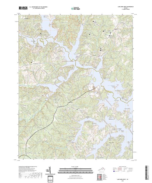
2022 Lake Anna West
Louisa County, VA
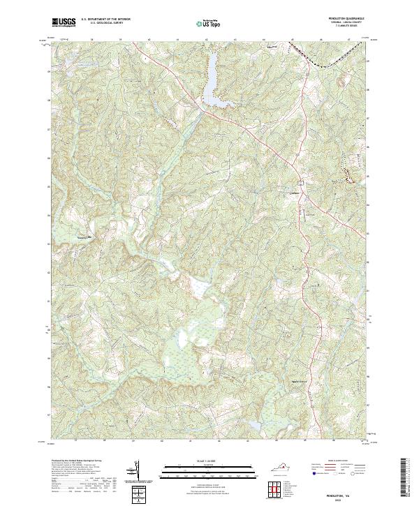
2022 Pendleton
Louisa County, VA
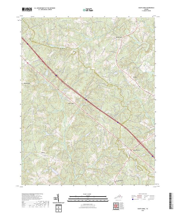
2022 South Anna
Louisa County, VA