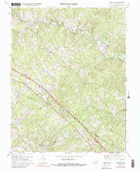
1970 Map of Ferncliff
USGS Topo · Published 1988About this map
The South Anna River winds through this Central Virginia landscape, defining the northern border of a region where the tri-county corners of Louisa, Fluvanna, and Goochland meet. Near the crossing of several rural routes, the settlement of Ferncliff serves as a local hub, while the surrounding hills are dotted with small community landmarks such as Byrd Mill and Butlers Store. The map illustrates a deeply rooted social landscape through its numerous rural sanctuaries, including Macedonia Ch, Bells Grove Ch, and Zion Traveler Ch.
Find a feature on this map
23 named features on this map. Tap any name to fly to it.
Don’t see what you’re looking for? This feature index may not catch every label — zoom into the map to look around manually.
Map Details
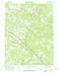
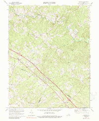
Editions of this 1970 Ferncliff Map
Other maps of this area

1887 · Spottsylvania
USGS Topo · 1:125,000

1890 · Goochland
USGS Topo · 1:125,000

1891 · Palmyra
USGS Topo · 1:125,000

1892 · Spottsylvania
USGS Topo · 1:125,000

1892 · Goochland
USGS Topo · 1:125,000

1892 · Gordonsville
USGS Topo · 1:125,000

1895 · Palmyra
USGS Topo · 1:125,000

1897 · Palmyra
USGS Topo · 1:125,000

1942 · Mineral
USGS Topo · 1:31,680

1942 · Pendleton
USGS Topo · 1:24,000