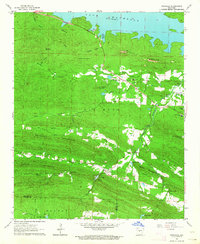
1963 Map of Ferndale
USGS Topo · Published 1964About this map
Lake Maumelle dominates the northern landscape of this region, its waters held back by an aqueduct and spillway system that reshaped the natural drainage of Worthen Creek and Twin Creek. The settlement of Ferndale serves as a central hub, surrounded by a complex topography of ridges including Buzzard Mountain, Brush Mountain, and the distinctive Maumelle Pinnacles. Evidence of earlier transport and industry is visible in the Old Railroad Grade running west of the river. The map identifies several religious and community centers, such as North Point Ch and Union Chapel, alongside numerous family-named burial grounds like Pleasant Grove Cem and Guenther Cem. This mid-century survey documents a transitional period where rural church-centered communities and youth retreats like Ferncliff Camp and Pfeifer Camp persisted alongside the developing infrastructure of the Little Maumelle River valley.
Find a feature on this map
44 named features on this map. Tap any name to fly to it.
Don’t see what you’re looking for? This feature index may not catch every label — zoom into the map to look around manually.
Map Details
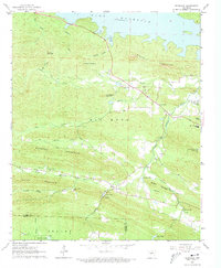
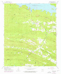
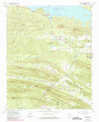
Editions of this 1963 Ferndale Map
4 editions found
Other maps of this area

1890 · Benton
USGS Topo · 1:125,000

1891 · Little Rock
USGS Topo · 1:125,000

1893 · Little Rock
USGS Topo · 1:125,000

1894 · Benton
USGS Topo · 1:125,000

1935 · Alexander
USGS Topo · 1:48,000

1938 · Benton
USGS Topo · 1:48,000

1941 · Alexander
USGS Topo · 1:62,500

1943 · Pinnacle Mtn
USGS Topo · 1:31,680

1944 · Benton
USGS Topo · 1:62,500

1944 · Alexander
USGS Topo · 1:31,680