
1952 Map of Ferndale
USGS Topo · Published 1957About this map
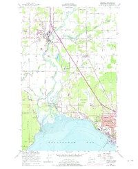
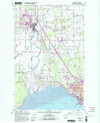
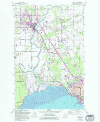
The Nooksack River meanders toward Bellingham Bay in this mid-century look at Whatcom County's coastal lowlands. The settlement of Ferndale serves as a northern anchor, while the edge of Bellingham pushes into the southeast corner, marked by early residential streets like Birchwood Ave and Cedarwood Ave. Much of the western landscape is shaped by the Lummi Indian Reservation, where the Lummi River and Smuggler Slough create a complex network of wetlands and levees.
Find a feature on this map
52 named features on this map. Tap any name to fly to it.
Don’t see what you’re looking for? This feature index may not catch every label — zoom into the map to look around manually.
Map Details
Editions of this 1952 Ferndale Map
4 editions found
Other maps of this area

1906 · Sumas
USGS Topo · 1:62,500

1907 · Blaine
USGS Topo · 1:62,500

1908 · Sumas
USGS Topo · 1:62,500

1918 · Samish Lake
USGS Topo · 1:62,500

1943 · Anacortes
USGS Topo · 1:62,500

1951 · Anacortes
USGS Topo · 1:62,500

1952 · Bertrand Creek
USGS Topo · 1:24,000

1952 · Lynden
USGS Topo · 1:24,000

1952 · Lummi Bay
USGS Topo · 1:24,000

1952 · Blaine
USGS Topo · 1:24,000