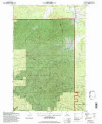
1995 Map of Fernwood
USGS Topo · Published 1997About this map
St Maries River winds through the northern reach of this 1990s-era survey, where the settlement of Fernwood sits at the base of Green Mountain. This section of the St Joe National Forest is defined by a dense network of timbered peaks and creek drainages, including the prominent heights of Hoodoo Mountain and Nakarna Mountain. The landscape reveals a history of resource extraction, evidenced by Dredge Tailings along the eastern valley floors and several prospects scattered among the ridges. High-elevation landmarks like Sunset Mountain and Emerald Butte overlook the Benewah and Latah county line, which cuts through the southern forest. Researchers can trace the winding path of Palouse St Maries Rd as it connects the river valley to the more remote interior basins like those of Carpenter Creek and Emerald Creek.
Find a feature on this map
31 named features on this map. Tap any name to fly to it.
Don’t see what you’re looking for? This feature index may not catch every label — zoom into the map to look around manually.
Map Details
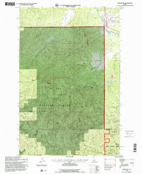
Editions of this 1995 Fernwood Map
2 editions found
Other maps of this area

1955 · Pullman
USGS Topo · 1:250,000

1955 · Spokane
USGS Topo · 1:250,000

1957 · Emida
USGS Topo · 1:62,500

1958 · Spokane
USGS Topo · 1:250,000

1958 · Pullman
USGS Topo · 1:250,000

1961 · Deary
USGS Topo · 1:62,500

1961 · Fernwood
USGS Topo · 1:62,500

1961 · Bovill
USGS Topo · 1:62,500

1981 · St Maries
USGS Topo · 1:100,000

1981 · Potlatch
USGS Topo · 1:100,000