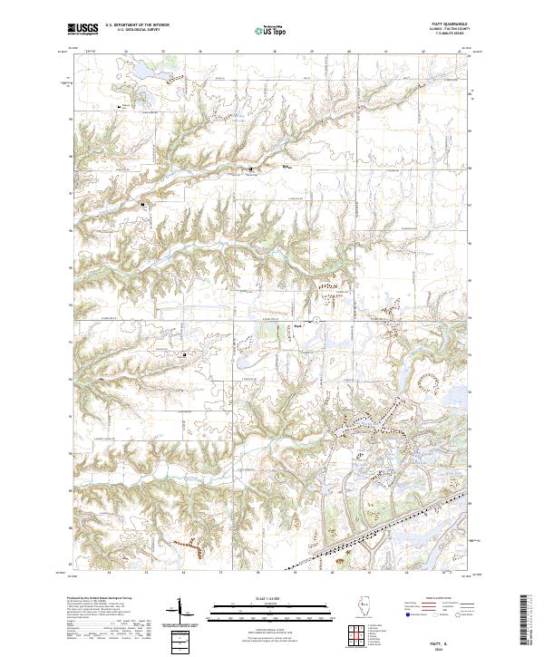
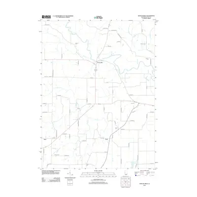
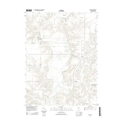
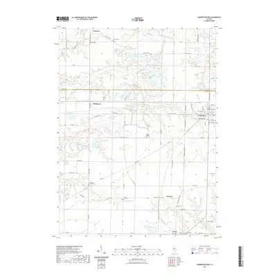
2024 Map of Fiatt
USGS Topo · Published 2024About this map
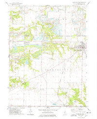
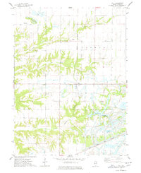
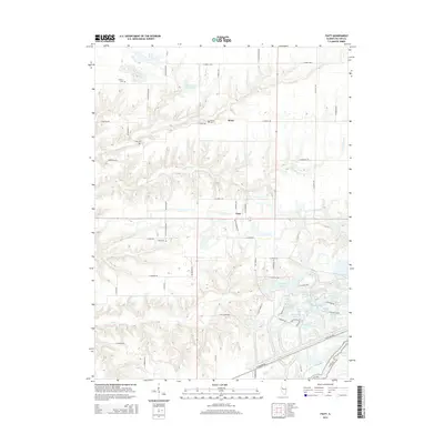
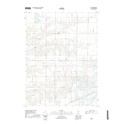
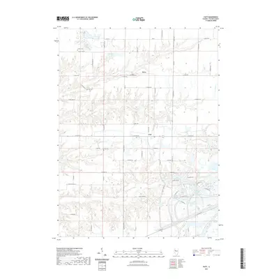
Fiatt and Bybee center this portion of Fulton County, where the agricultural uplands are deeply incised by the drainage systems of Turkey Creek, Lost Grove Creek, and Put Creek. The landscape reflects a legacy of modification, particularly in the southeast where a dense cluster of water bodies including Lake Wee-Ma-Tuk, Lake Marie, and Truax Lake suggests a history of surface alterations or managed recreation. For genealogists, the map preserves the locations of several burial grounds, including Fiatt Cem, Bybee Station Cem, Zion Cem, and Dickson Cem. The road network follows a rigid section-line grid, punctuated by descriptive routes like E Eagle Pass Rd and E Deer Track Rd, while CBS Gun Club Lake and Genes Pond indicate more localized land use patterns in the timbered valleys.
Find a feature on this map
51 named features on this map. Tap any name to fly to it.
Don’t see what you’re looking for? This feature index may not catch every label — zoom into the map to look around manually.
Map Details
Editions of this 2024 Fiatt Map
This is the sole edition of this map. No revisions or reprints were ever made.
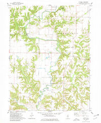
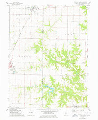
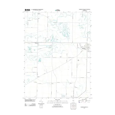
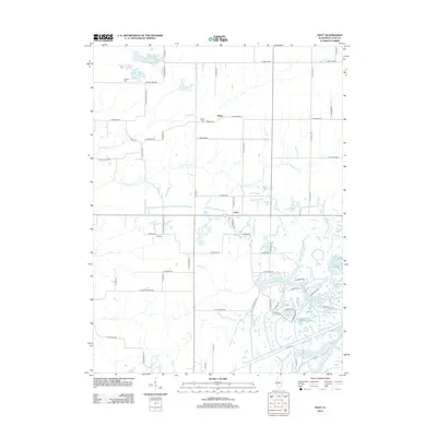
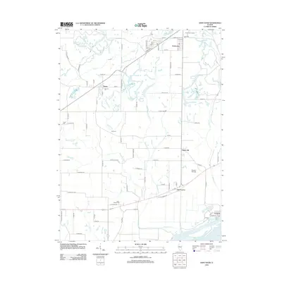
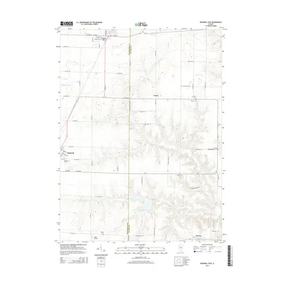
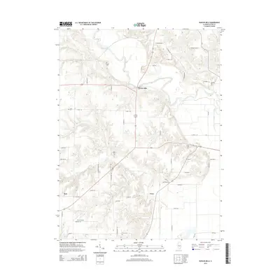
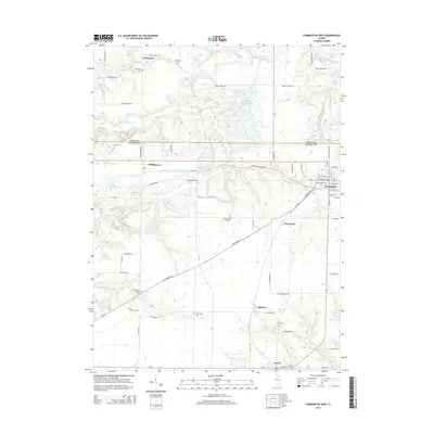
Historical Maps of Fiatt Through Time
35 maps found
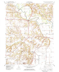
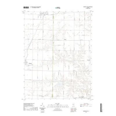
1948 Duncan Mills
Fulton County, IL
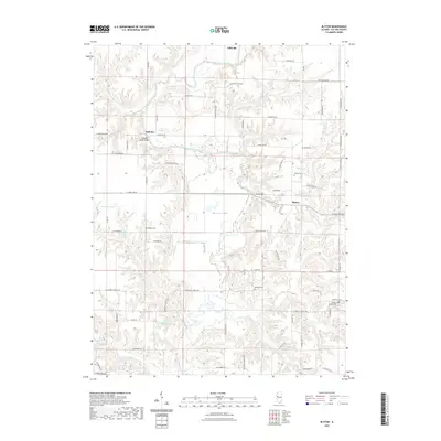
1974 Blyton
Fulton County, IL
1974 Bushnell East
Fulton County, IL
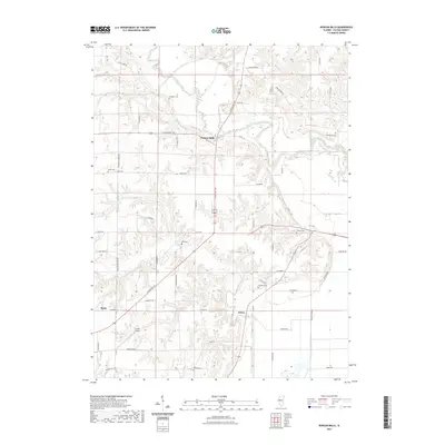
1974 Farmington West
Fulton County, IL
1974 Fiatt
Fulton County, IL
2012 Blyton
Fulton County, IL
2012 Bushnell East
Fulton County, IL
2012 Duncan Mills
Fulton County, IL
2012 Farmington West
Fulton County, IL
2012 Fiatt
Fulton County, IL
2012 Saint David
Fulton County, IL
2015 Blyton
Fulton County, IL
2015 Bushnell East
Fulton County, IL
2015 Duncan Mills
Fulton County, IL
2015 Farmington West
Fulton County, IL
2015 Fiatt
Fulton County, IL
2015 Saint David
Fulton County, IL
2018 Blyton
Fulton County, IL
2018 Bushnell East
Fulton County, IL
2018 Duncan Mills
Fulton County, IL
2018 Farmington West
Fulton County, IL
2018 Fiatt
Fulton County, IL
2018 Saint David
Fulton County, IL
2021 Blyton
Fulton County, IL
2021 Bushnell East
Fulton County, IL
2021 Duncan Mills
Fulton County, IL
2021 Farmington West
Fulton County, IL
2021 Fiatt
Fulton County, IL
2021 Saint David
Fulton County, IL
2024 Blyton
Fulton County, IL
2024 Bushnell East
Fulton County, IL
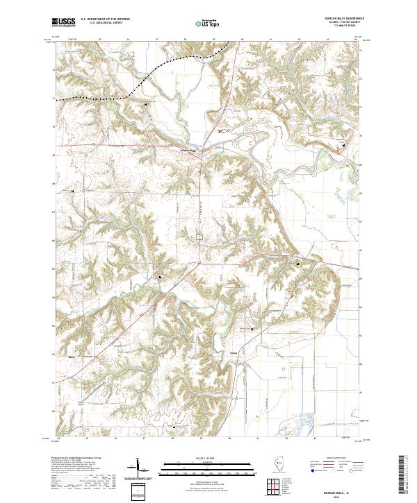
2024 Duncan Mills
Fulton County, IL
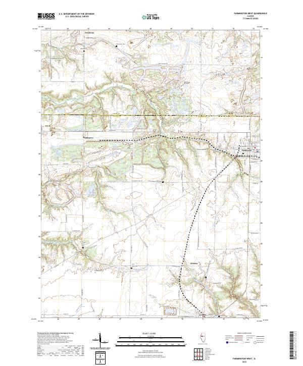
2024 Farmington West
Fulton County, IL
2024 Fiatt
Fulton County, IL
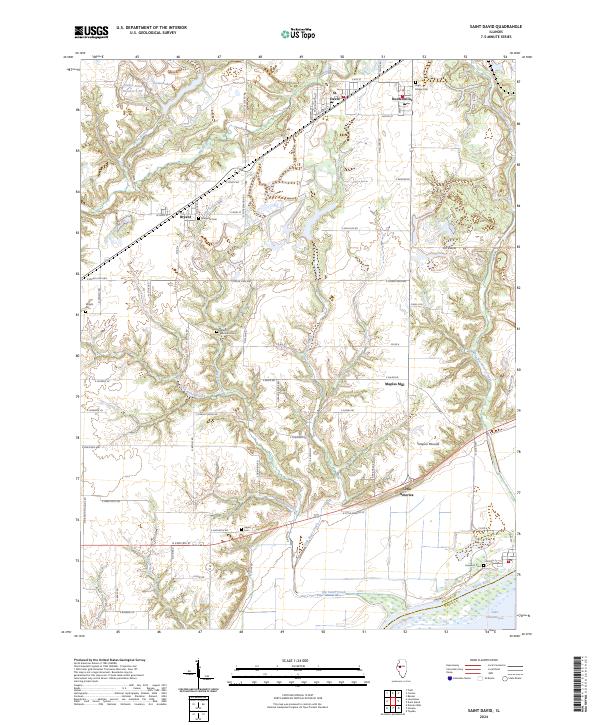
2024 Saint David
Fulton County, IL