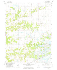
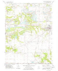
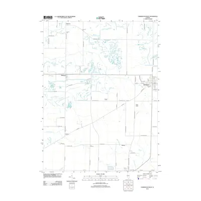
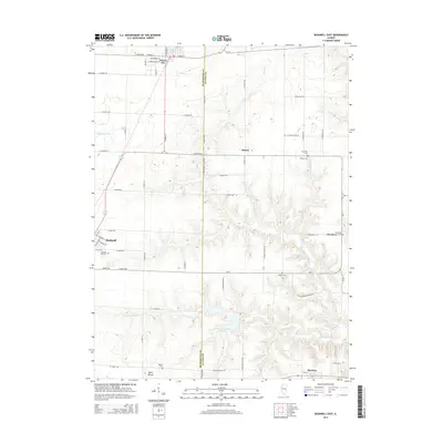
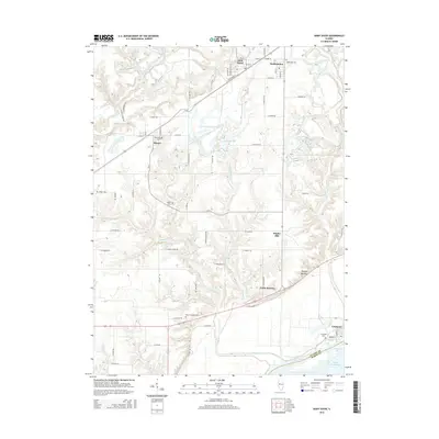
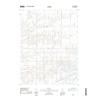
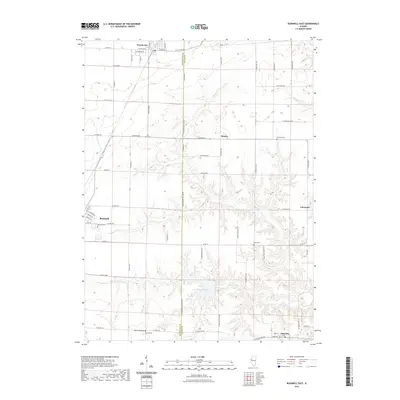
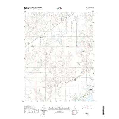
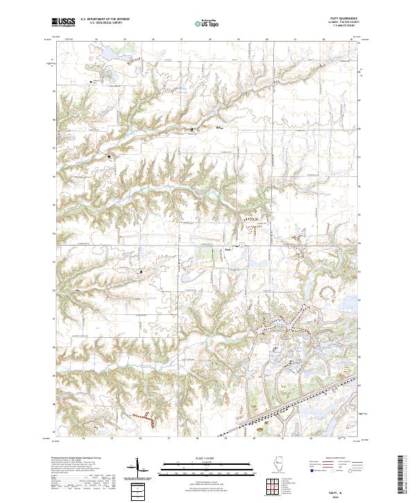
1974 Map of Fiatt
USGS Topo · Published 1978About this map
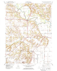
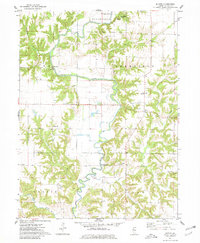
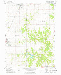
The unincorporated community of Fiatt serves as a central point in this mid-1970s landscape, where the agricultural traditions of Deerfield and Joshua townships meet the rising influence of heavy industry. The map captures a significant environmental transition, with extensive Strip Mined Areas in the north and south contrasting against the natural drainage of Turkey Creek and Lost Grove Creek.
Find a feature on this map
21 named features on this map. Tap any name to fly to it.
Don’t see what you’re looking for? This feature index may not catch every label — zoom into the map to look around manually.
Map Details
Editions of this 1974 Fiatt Map
This is the sole edition of this map. No revisions or reprints were ever made.
Historical Maps of Bybee Through Time
35 maps found
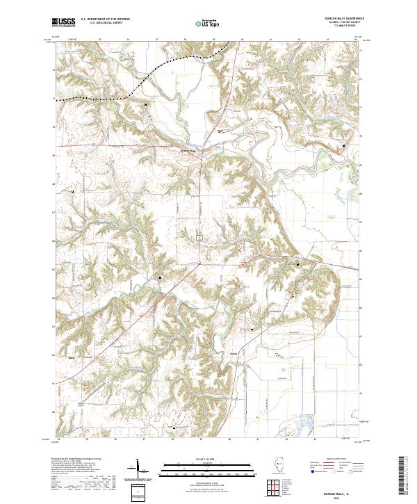
1948 Duncan Mills
Fulton County, IL
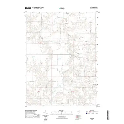
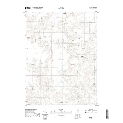
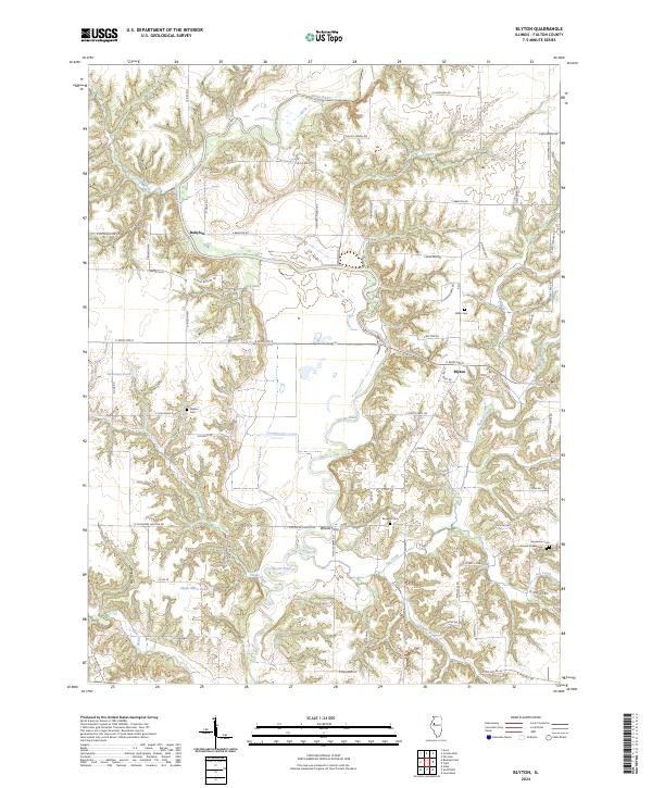
1974 Blyton
Fulton County, IL
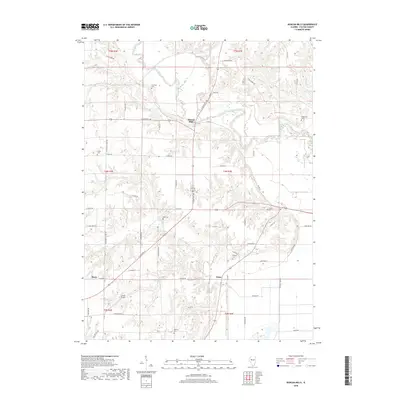
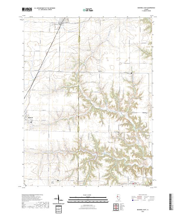
1974 Bushnell East
Fulton County, IL
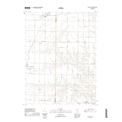
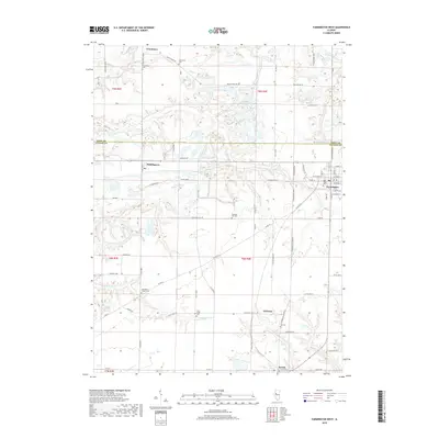
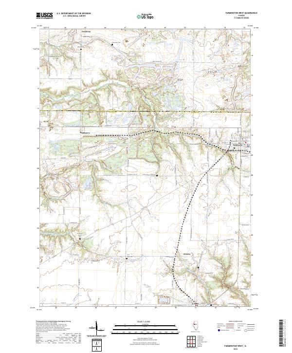
1974 Farmington West
Fulton County, IL
1974 Fiatt
Fulton County, IL
2012 Blyton
Fulton County, IL
2012 Bushnell East
Fulton County, IL
2012 Duncan Mills
Fulton County, IL
2012 Farmington West
Fulton County, IL
2012 Fiatt
Fulton County, IL
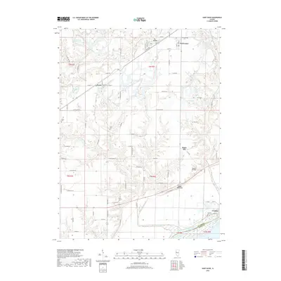
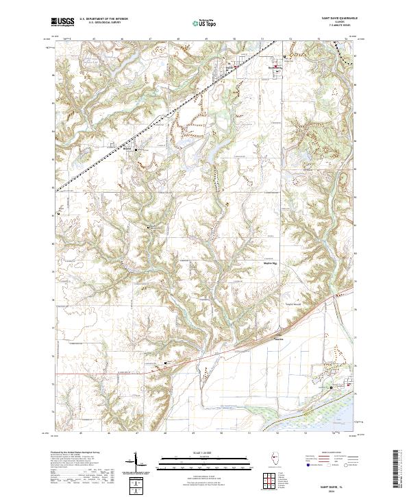
2012 Saint David
Fulton County, IL
2015 Blyton
Fulton County, IL
2015 Bushnell East
Fulton County, IL
2015 Duncan Mills
Fulton County, IL
2015 Farmington West
Fulton County, IL
2015 Fiatt
Fulton County, IL
2015 Saint David
Fulton County, IL
2018 Blyton
Fulton County, IL
2018 Bushnell East
Fulton County, IL
2018 Duncan Mills
Fulton County, IL
2018 Farmington West
Fulton County, IL
2018 Fiatt
Fulton County, IL
2018 Saint David
Fulton County, IL
2021 Blyton
Fulton County, IL
2021 Bushnell East
Fulton County, IL
2021 Duncan Mills
Fulton County, IL
2021 Farmington West
Fulton County, IL
2021 Fiatt
Fulton County, IL
2021 Saint David
Fulton County, IL
2024 Blyton
Fulton County, IL
2024 Bushnell East
Fulton County, IL
2024 Duncan Mills
Fulton County, IL
2024 Farmington West
Fulton County, IL
2024 Fiatt
Fulton County, IL
2024 Saint David
Fulton County, IL