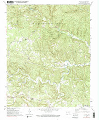
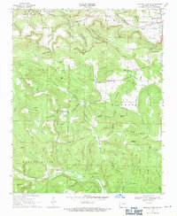
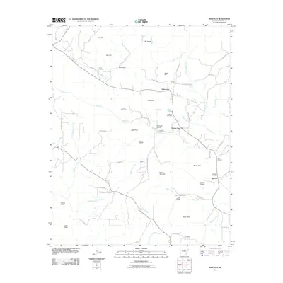
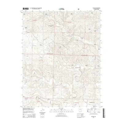
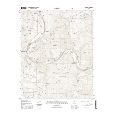
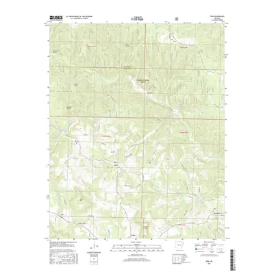
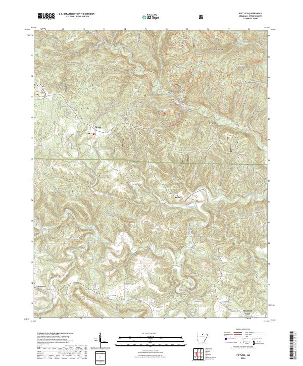
1972 Map of Fiftysix
USGS Topo · Published 1991About this map
Fiftysix serves as the focal point of this Ozark plateau landscape, situated near the headwaters of the winding North Sylamore Creek. The map documents a mid-century period when the Ozark National Forest had become established for both timber and recreation, anchored by the subterranean complexity of Blanchard Caverns. Settlement patterns remain tied to the rugged topography, with community life centered around rural landmarks like Shady Grove Ch and Red Doors Ch along the southern road networks. These labels, alongside remote cemeteries like Gayler Cem, provide critical evidence for genealogists and local historians tracing families in this corner of Stone County. The intricate drainage network of Roasting Ear Creek and Grassy Creek illustrates the dissected nature of the terrain, where narrow hollows such as Gunner Hollow and Wolf Pen Hollow dictated the path of early homesteads and mountain roads.
Find a feature on this map
53 named features on this map. Tap any name to fly to it.
Don’t see what you’re looking for? This feature index may not catch every label — zoom into the map to look around manually.
Map Details
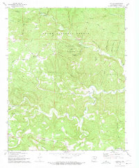
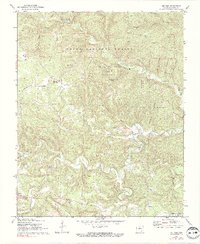
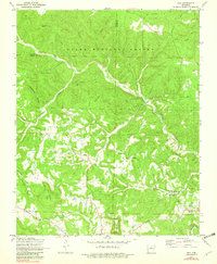
Editions of this 1972 Fiftysix Map
3 editions found
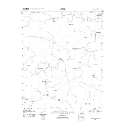
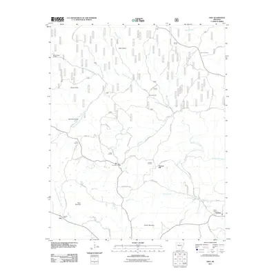
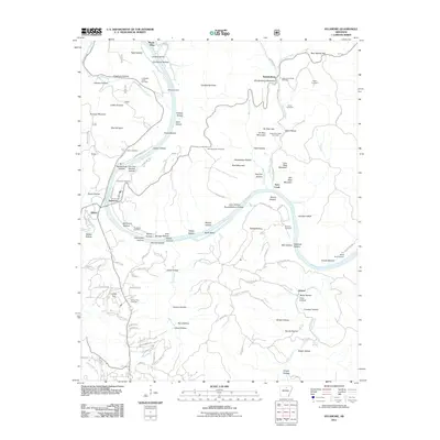
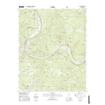
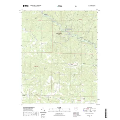
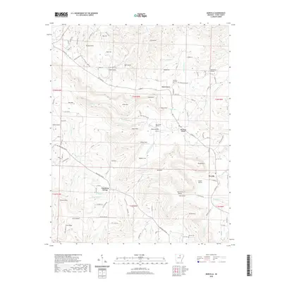
Historical Maps of Mountain View Through Time
30 maps found
1964 Sylamore
Stone County, AR
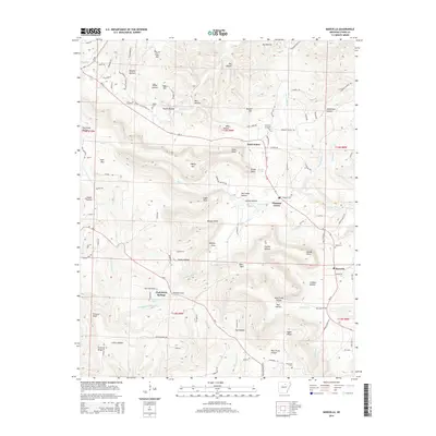
1969 Marcella
Stone County, AR
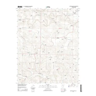
1969 Mountain View SW
Stone County, AR
1972 Fiftysix
Stone County, AR
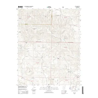
1972 Onia
Stone County, AR
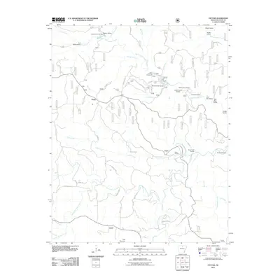
2011 Fiftysix
Stone County, AR
2011 Marcella
Stone County, AR
2011 Mountain View SW
Stone County, AR
2011 Onia
Stone County, AR
2011 Sylamore
Stone County, AR
2014 Fiftysix
Stone County, AR
2014 Marcella
Stone County, AR
2014 Mountain View SW
Stone County, AR
2014 Onia
Stone County, AR
2014 Sylamore
Stone County, AR
2017 Fiftysix
Stone County, AR
2017 Marcella
Stone County, AR
2017 Mountain View SW
Stone County, AR
2017 Onia
Stone County, AR
2017 Sylamore
Stone County, AR
2020 Fiftysix
Stone County, AR
2020 Marcella
Stone County, AR
2020 Mountain View SW
Stone County, AR
2020 Onia
Stone County, AR
2020 Sylamore
Stone County, AR
2024 Fiftysix
Stone County, AR
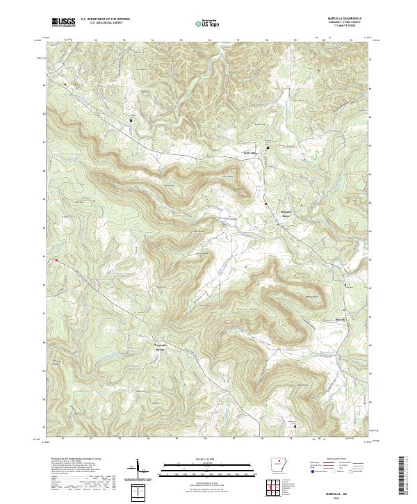
2024 Marcella
Stone County, AR
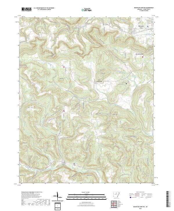
2024 Mountain View SW
Stone County, AR
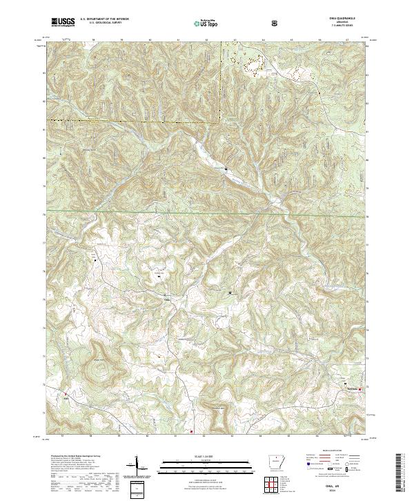
2024 Onia
Stone County, AR
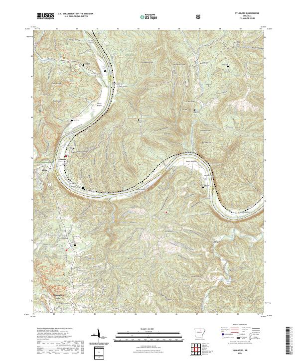
2024 Sylamore
Stone County, AR