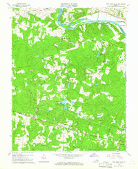
1964 Map of Fine Creek Mills
USGS Topo · Published 1966About this map
Fine Creek Mills sits just south of the James River, marking a central point in this mid-1960s landscape where Powhatan and Goochland counties meet. The northern edge of the map is dominated by the sprawling State Farm and Prison complex, bordered by the Chesapeake And Ohio railroad line tracking the riverbank. This survey illustrates a rural community anchored by its houses of worship and family grounds, including Old Powhatan Ch, St Lukes Ch, and the Watkins Cem.
Find a feature on this map
41 named features on this map. Tap any name to fly to it.
Don’t see what you’re looking for? This feature index may not catch every label — zoom into the map to look around manually.
Map Details
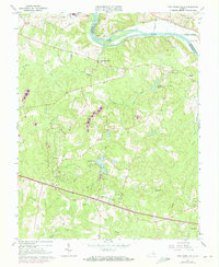
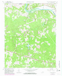
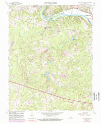
Editions of this 1964 Fine Creek Mills Map
4 editions found
Other maps of this area

1890 · Goochland
USGS Topo · 1:125,000

1892 · Goochland
USGS Topo · 1:125,000

1897 · Amelia
USGS Topo · 1:125,000

1943 · Goochland
USGS Topo · 1:31,680

1943 · Fine Creek Mills
USGS Topo · 1:31,680

1943 · Powhatan
USGS Topo · 1:31,680

1943 · Perkinsville
USGS Topo · 1:31,680

1943 · Hallsboro
USGS Topo · 1:31,680

1943 · Clayville
USGS Topo · 1:24,000

1943 · Midlothian
USGS Topo · 1:24,000