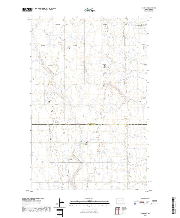
2024 Map of Finley NE
USGS Topo · Published 2024About this map
Beaver Creek meanders through this agricultural landscape at the border of Grand Forks and Steele Counties, defining the local drainage and topography. The area is characterized by a precise grid of rural section lines, including 5th Ave NE and 47th St NE, which serve the scattered farmsteads of the Red River Valley region. This survey captures the quiet persistence of early settlement markers, notably the three cemeteries—West Union Cem, Silent Hill Cem, and Hoff Cem—which remain vital touchstones for genealogists tracing family roots in these townships. The map illustrates the contemporary road network, from local routes like Co Hwy 16 to the county line demarcation of Eagle Ave NE, reflecting the enduring structure of North Dakota's rural land management.
Find a feature on this map
28 named features on this map. Tap any name to fly to it.
Don’t see what you’re looking for? This feature index may not catch every label — zoom into the map to look around manually.
Map Details
Editions of this 2024 Finley NE Map
This is the sole edition of this map. No revisions or reprints were ever made.
Other maps of this area

1936 · Larimore
USGS Topo · 1:62,500

1939 · Niagara
USGS Topo · 1:62,500

1952 · Grand Forks
USGS Topo · 1:250,000

1956 · Grand Forks
USGS Topo · 1:250,000

1963 · Niagara SW
USGS Topo · 1:24,000

1963 · Larimore SW
USGS Topo · 1:24,000

1963 · Logan Center
USGS Topo · 1:24,000

1966 · Grand Forks
USGS Topo · 1:250,000

1967 · Finley NE
USGS Topo · 1:24,000

1967 · Finley
USGS Topo · 1:24,000