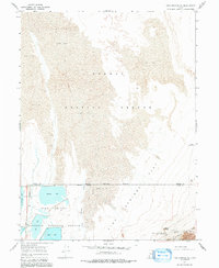
1967 Map of Fish Springs NE
USGS Topo · Published 1991About this map
The Fish Springs National Wildlife Refuge occupies the southern portion of this survey, where the desert floor gives way to a managed wetland system. A network of waterfowl habitats including Gadwall Pool, Ibis Pool, Egret Pool, and Harrison Pool contrasts sharply with the expansive Mud Flat that dominates the northern landscape. This area, straddling the Tooele and Juab County line, was a critical point of navigation and survival for early western travelers due to the availability of water at Fish Springs.
Find a feature on this map
20 named features on this map. Tap any name to fly to it.
Don’t see what you’re looking for? This feature index may not catch every label — zoom into the map to look around manually.
Map Details
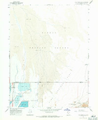
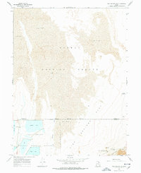
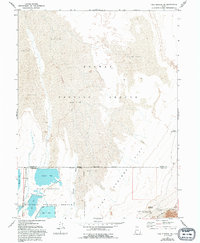
Editions of this 1967 Fish Springs NE Map
4 editions found
Other maps of this area

1908 · Fish Springs
USGS Topo · 1:250,000

1910 · Fish Springs
USGS Topo · 1:250,000

1953 · Dugway Range
USGS Topo · 1:62,500

1953 · Dugway Range NW
USGS Topo · 1:24,000

1953 · Tooele
USGS Topo · 1:250,000

1953 · Delta
USGS Topo · 1:250,000

1954 · Dugway Proving Ground SW
USGS Topo · 1:24,000

1954 · Granite Peak SE
USGS Topo · 1:24,000

1955 · Tooele
USGS Topo · 1:250,000

1958 · Delta
USGS Topo · 1:250,000