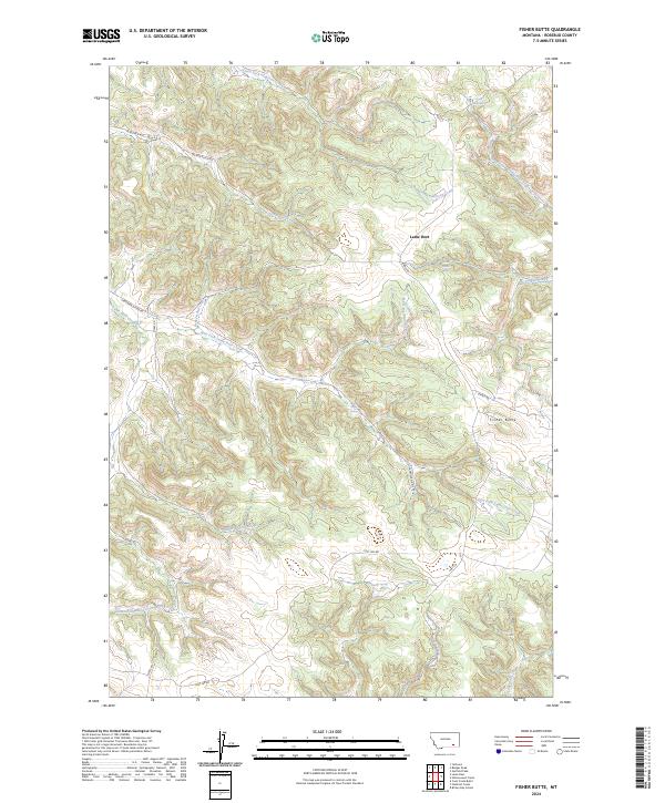
2024 Map of Fisher Butte
USGS Topo · Published 2024About this map
Lame Deer is the center of this Rosebud County landscape, where the terrain is carved by a complex network of named waterways and remote access roads. The hydrology is particularly well-documented, featuring family-named or descriptively named water sources like White Horse Spring, Station Spring, and Crazy Head Spring. These springs and seasonal creeks, such as Broken Jaw Creek and White Buffalo Creek, illustrate the vital importance of water management and natural landmarks in this part of Montana.
Find a feature on this map
30 named features on this map. Tap any name to fly to it.
Don’t see what you’re looking for? This feature index may not catch every label — zoom into the map to look around manually.
Map Details
Editions of this 2024 Fisher Butte Map
This is the sole edition of this map. No revisions or reprints were ever made.
Other maps of this area

1954 · Hardin
USGS Topo · 1:250,000

1957 · Hardin
USGS Topo · 1:250,000

1958 · Hardin
USGS Topo · 1:250,000

1958 · Garfield Peak
USGS Topo · 1:24,000

1958 · Jimtown
USGS Topo · 1:24,000

1958 · Fisher Butte
USGS Topo · 1:24,000

1958 · Lame Deer
USGS Topo · 1:24,000

1958 · Badger Peak
USGS Topo · 1:24,000

1958 · Hollowwood Creek
USGS Topo · 1:24,000

1966 · Birney Day School
USGS Topo · 1:24,000