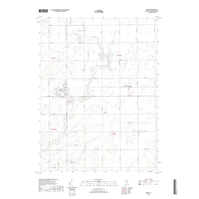
2018 Map of Fisher
USGS Topo · Published 2018About this map
The Sangamon River winds through this central Illinois landscape, defining the character of the land between the settlements of Fisher and Dewey. This modern survey illustrates the persistent agricultural and cemetery history of Champaign County, with numerous family and community burial grounds scattered across the townships. Genealogists can locate Beekman Cem, East Bend Cem, Willowbrook Cem, and the uniquely named Knife-Stout Cem, which anchor the rural identity of the region.
Find a feature on this map
37 named features on this map. Tap any name to fly to it.
Don’t see what you’re looking for? This feature index may not catch every label — zoom into the map to look around manually.
Map Details
Editions of this 2018 Fisher Map
This is the sole edition of this map. No revisions or reprints were ever made.
Other maps of this area

1906 · Urbana
USGS Topo · 1:62,500

1907 · Mahomet
USGS Topo · 1:62,500

1924 · Paxton
USGS Topo · 1:62,500

1927 · Paxton
USGS Topo · 1:62,500

1928 · Gibson City
USGS Topo · 1:62,500

1949 · Paxton
USGS Topo · 1:62,500

1957 · Urbana
USGS Topo · 1:62,500

1957 · Paxton
USGS Topo · 1:62,500

1957 · Gibson City
USGS Topo · 1:62,500

1957 · Rising
USGS Topo · 1:24,000