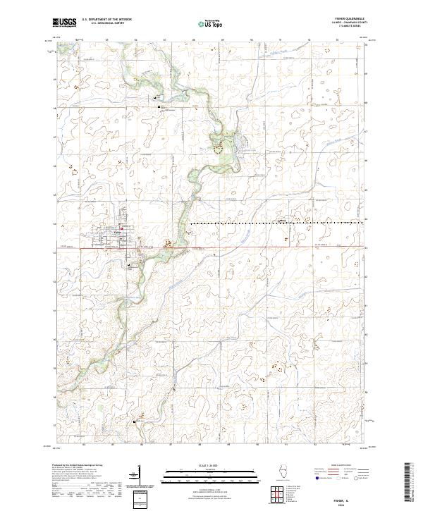
2024 Map of Fisher
USGS Topo · Published 2024About this map
The Sangamon River meanders through the heart of this central Illinois landscape, defining the topography around the village of Fisher. The river's corridor is marked by a series of distinct drainage features including Dickerson Slough, Wildcat Slough, and Hillsbury Slough, reflecting the natural hydrology of the Champaign County prairie. For genealogists and local historians, several burial sites are documented across the rural townships, including Willowbrook Cem just south of Fisher, Beekman Cem, and the Knife Cem located near the southern boundary. The settlement of Dewey sits to the east, connected to the larger community by a grid of county roads such as Co RD 3000 N. This 2024 data showcases a landscape where modern infrastructure like Greenwood Lake exists alongside the long-established agricultural grid and the complex, winding path of the river and its many ditches.
Find a feature on this map
33 named features on this map. Tap any name to fly to it.
Don’t see what you’re looking for? This feature index may not catch every label — zoom into the map to look around manually.
Map Details
Editions of this 2024 Fisher Map
This is the sole edition of this map. No revisions or reprints were ever made.
Other maps of this area

1906 · Urbana
USGS Topo · 1:62,500

1907 · Mahomet
USGS Topo · 1:62,500

1924 · Paxton
USGS Topo · 1:62,500

1927 · Paxton
USGS Topo · 1:62,500

1928 · Gibson City
USGS Topo · 1:62,500

1949 · Paxton
USGS Topo · 1:62,500

1957 · Urbana
USGS Topo · 1:62,500

1957 · Paxton
USGS Topo · 1:62,500

1957 · Gibson City
USGS Topo · 1:62,500

1957 · Rising
USGS Topo · 1:24,000