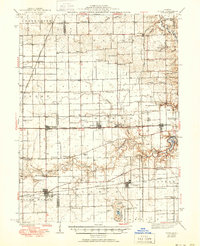
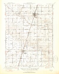
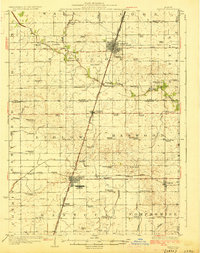
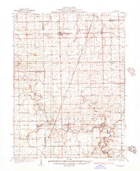
1943 Map of Fithian
USGS Topo · Published 1951About this map
The Vermilion River and Salt Fork Vermilion River carve across this landscape, defining the topography of Vermilion and Champaign counties. A dense network of rural infrastructure is documented here, from the numerous township schools like Little Giant Sch and Shellbark Sch to family cemeteries including Bodkin Cem and Davis Cem. The map reveals a highly connected agrarian economy served by multiple rail lines, including the Wabash RR and the Ill Term Electric, which link the various agricultural depots and settlements.
Find a feature on this map
88 named features on this map. Tap any name to fly to it.
Don’t see what you’re looking for? This feature index may not catch every label — zoom into the map to look around manually.
Map Details
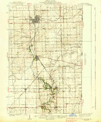
Editions of this 1943 Fithian Map
2 editions found
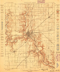
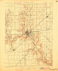
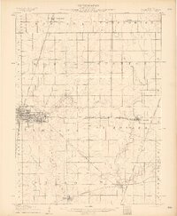
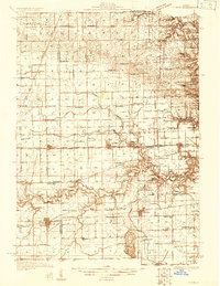
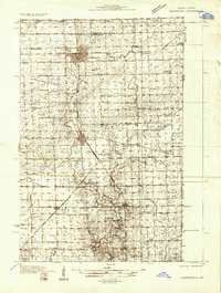
Other maps of this area
1899 · Danville
USGS Topo · 1:62,500
1900 · Danville
USGS Topo · 1:62,500
1906 · Urbana
USGS Topo · 1:62,500
1924 · Paxton
USGS Topo · 1:62,500
1927 · Paxton
USGS Topo · 1:62,500
1931 · Fithian
USGS Topo · 1:48,000
1933 · Hoopeston
USGS Topo · 1:48,000
1936 · Potomac
USGS Topo · 1:62,500
1938 · Hoopeston
USGS Topo · 1:62,500
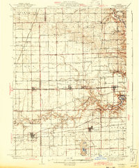
1943 · Fithian
USGS Topo · 1:62,500