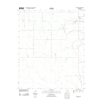
2012 Map of Fittstown
USGS Topo · Published 2012About this map
Blue River and its several tributaries, including Little W Blue Cr and Little Blue Cr, define the drainage patterns of this Pontotoc County landscape. The area is anchored by the small settlements of Fittstown and Franks in the northeast, where local history is preserved at the Fittstown Baptist Cem and Franks Cem. These rural centers are connected by a rigid grid of section roads like e1670 RD and n3550 RD that cross the undulating terrain.
Find a feature on this map
40 named features on this map. Tap any name to fly to it.
Don’t see what you’re looking for? This feature index may not catch every label — zoom into the map to look around manually.
Map Details
Editions of this 2012 Fittstown Map
This is the sole edition of this map. No revisions or reprints were ever made.
Other maps of this area

1901 · Stonewall
USGS Topo · 1:125,000

1901 · Tishomingo
USGS Topo · 1:125,000

1957 · Stonewall
USGS Topo · 1:24,000

1957 · Ardmore
USGS Topo · 1:250,000

1963 · Ardmore
USGS Topo · 1:250,000

1963 · Mill Creek
USGS Topo · 1:24,000
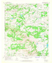
1966 · Harden City
USGS Topo · 1:24,000

1967 · Roff South
USGS Topo · 1:24,000

1967 · Ahloso
USGS Topo · 1:24,000

1967 · Connerville
USGS Topo · 1:24,000