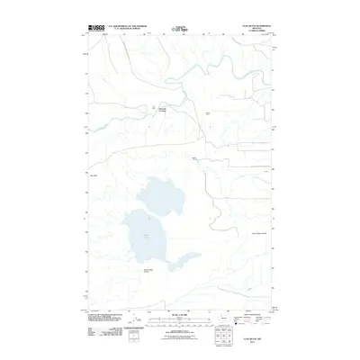
2011 Map of Flag Butte
USGS Topo · Published 2011About this map
The Blackfeet Indian Reservation boundary defines much of this northern Montana landscape, where the Two Medicine River meanders through the plains. The map centers on the rural life of Pondera County, characterized by isolated ranching outposts like Bird Ranch and Wagner Ranch. A notable river crossing is documented at Edwards Crossing, a critical point of movement in this water-cut terrain.
Find a feature on this map
12 named features on this map. Tap any name to fly to it.
Don’t see what you’re looking for? This feature index may not catch every label — zoom into the map to look around manually.
Map Details
Editions of this 2011 Flag Butte Map
This is the sole edition of this map. No revisions or reprints were ever made.
Other maps of this area

1907 · Blackfoot Res.
USGS Topo · 1:48,000

1909 · Cut Bank
USGS Topo · 1:125,000

1911 · Blackfoot
USGS Topo · 1:125,000

1912 · Cut Bank
USGS Topo · 1:125,000

1914 · Heart Butte
USGS Topo · 1:125,000

1918 · Heart Butte
USGS Topo · 1:125,000

1920 · Dupuyer
USGS Topo · 1:125,000

1934 · Lake Frances
USGS Topo · 1:48,000

1937 · Lake Frances
USGS Topo · 1:62,500

1960 · Cut Bank
USGS Topo · 1:250,000