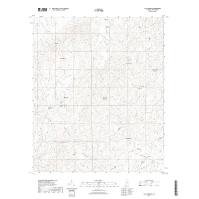
2018 Map of Flag Mountain
USGS Topo · Published 2018About this map
Flag Mtn and the Weogufka Mountains dominate this 2018 survey of Coosa County, Alabama, where the landscape is defined by the winding paths of Hatchet Creek and Weogufka Creek. This region contains several small, long-established settlements such as Bentleyville, Moriah, Hillwood, and Lyle. The map is particularly detailed regarding local burial sites, which are often the clearest indicators of family lineage in rural Alabama. Noteworthy genealogical landmarks include the O J Mooney Family Cem, Bell Rattle Cem, and the distinct Mount Moriah Cem near the Old Mount Moriah Cem. The drainage patterns of creeks like Finikochika Cr and Jack Cr emphasize the dissected nature of this terrain, while the road network, including Co RD 55 and CC Camp RD, connects these tight-knit upland communities.
Find a feature on this map
51 named features on this map. Tap any name to fly to it.
Don’t see what you’re looking for? This feature index may not catch every label — zoom into the map to look around manually.
Map Details
Editions of this 2018 Flag Mountain Map
This is the sole edition of this map. No revisions or reprints were ever made.
Other maps of this area

1890 · Talladega
USGS Topo · 1:125,000

1892 · Talladega
USGS Topo · 1:125,000

1901 · Wetumpka
USGS Topo · 1:125,000

1903 · Wetumpka
USGS Topo · 1:125,000

1915 · Gantts Quarry
USGS Topo · 1:48,000

1917 · Gantts Quarry
USGS Topo · 1:62,500

1944 · Goodwater
USGS Topo · 1:62,500

1947 · Goodwater
USGS Topo · 1:62,500

1953 · Montgomery
USGS Topo · 1:250,000

1953 · Birmingham
USGS Topo · 1:250,000