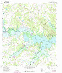
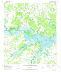
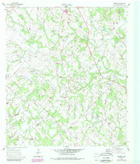
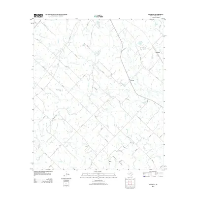
1971 Map of Flag Pond
USGS Topo · Published 1989About this map
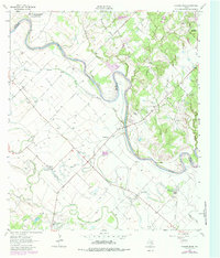
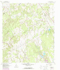
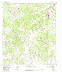
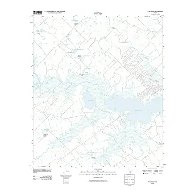
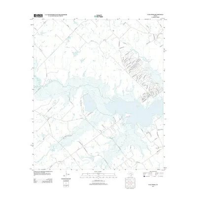
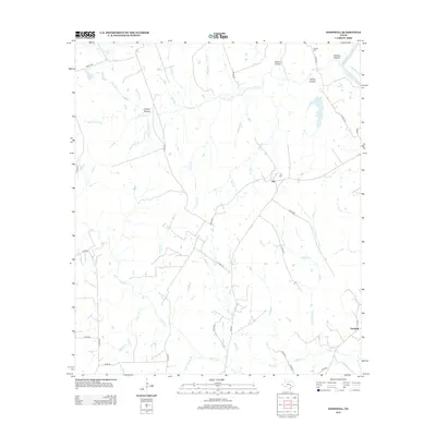
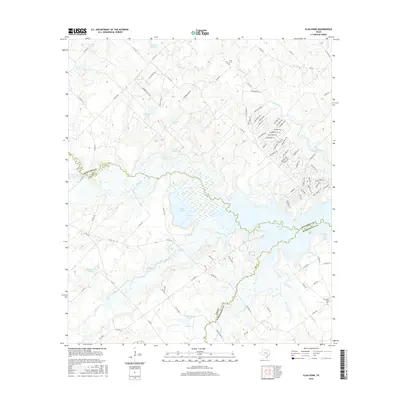
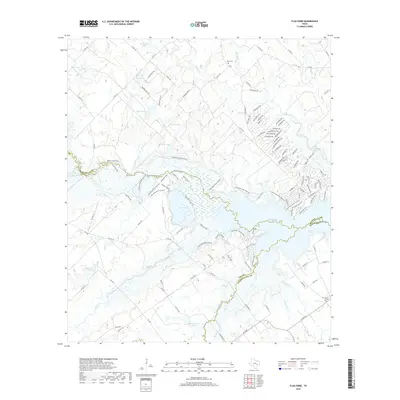
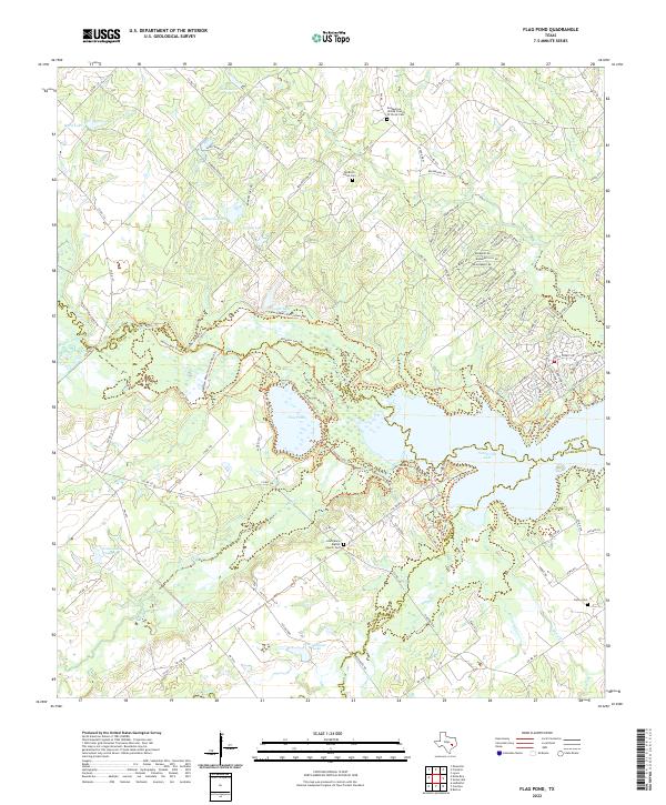
Somerville Lake dominates this landscape on the borders of Burleson, Lee, and Washington counties, its waters flooding the lower reaches of Yegua Creek. The survey, updated with 1980s data, illustrates the development of lakeside recreation at Birch Creek State Park and Nails Creek State Park. Away from the shoreline, the map reveals a rural topography defined by scattered Oil Field activity and deep-rooted community markers. Genealogists can identify localized landmarks such as Post Oak School and St Mary Ch, along with burial sites like Birch Cem and Flat Prairie Cem. The convergence of East Yegua Creek and Middle Yegua Cr highlights the complex drainage system feeding into the reservoir, while numerous smaller streams like Hickory Creek and Cedar Creek carve through the surrounding countryside.
Find a feature on this map
24 named features on this map. Tap any name to fly to it.
Don’t see what you’re looking for? This feature index may not catch every label — zoom into the map to look around manually.
Map Details
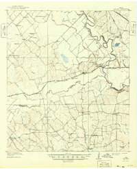
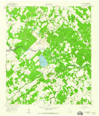
Editions of this 1971 Flag Pond Map
2 editions found
Historical Maps of Post Oak Through Time
32 maps found
1914 Gay Hill
Burleson County, TX
1959 Flag Pond
Burleson County, TX
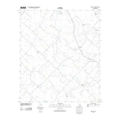
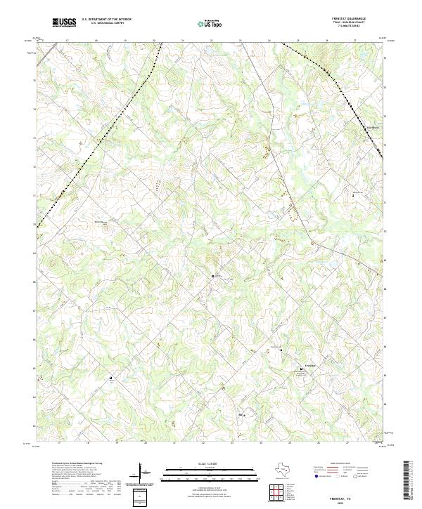
1960 Frenstat
Burleson County, TX
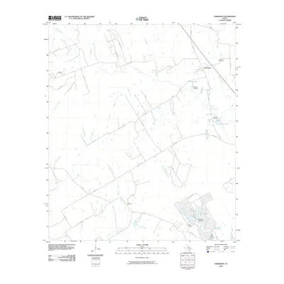
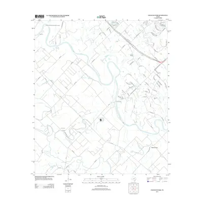
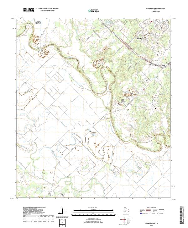
1962 Chances Store
Burleson County, TX
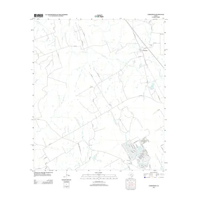
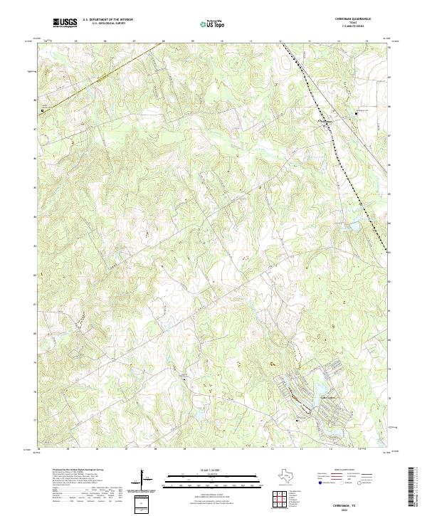
1962 Chriesman
Burleson County, TX
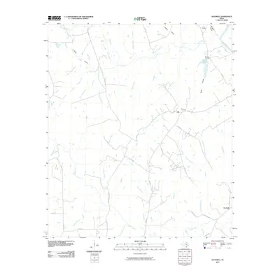
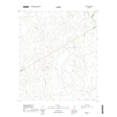
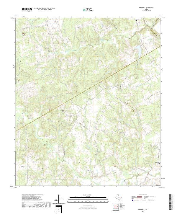
1962 Goodwill
Burleson County, TX
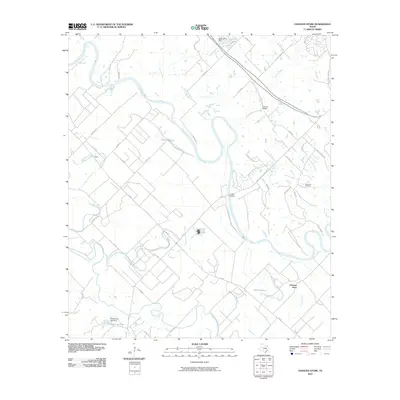
1971 Flag Pond
Burleson County, TX
2010 Chances Store
Burleson County, TX
2010 Chriesman
Burleson County, TX
2010 Flag Pond
Burleson County, TX
2010 Frenstat
Burleson County, TX
2010 Goodwill
Burleson County, TX
2013 Chances Store
Burleson County, TX
2013 Chriesman
Burleson County, TX
2013 Flag Pond
Burleson County, TX
2013 Frenstat
Burleson County, TX
2013 Goodwill
Burleson County, TX
2016 Chances Store
Burleson County, TX
2016 Chriesman
Burleson County, TX
2016 Flag Pond
Burleson County, TX
2016 Frenstat
Burleson County, TX
2016 Goodwill
Burleson County, TX
2019 Chances Store
Burleson County, TX
2019 Chriesman
Burleson County, TX
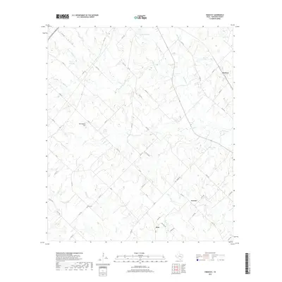
2019 Flag Pond
Burleson County, TX
2019 Frenstat
Burleson County, TX
2019 Goodwill
Burleson County, TX
2022 Chances Store
Burleson County, TX
2022 Chriesman
Burleson County, TX
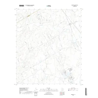
2022 Flag Pond
Burleson County, TX
2022 Frenstat
Burleson County, TX
2022 Goodwill
Burleson County, TX