
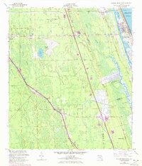
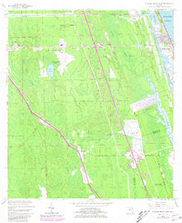
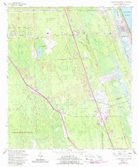
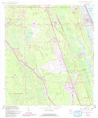
1956 Map of Flagler Beach West
USGS Topo · Published 1960About this map
Graham Swamp dominates the center of this coastal Florida landscape, separating the interior settlements from the shoreline. The Florida East Coast railway and the Old Dixie Highway run parallel through the western corridor, serving the communities of Bunnell, Dupont, and Korona. This transit-oriented layout reflects the region's mid-century role as a logistical artery for the state. To the east, the Intracoastal Waterway and Bulow Creek snake toward the Atlantic Ocean at Flagler Beach. Cultural and historical sites are preserved at the Bulow Ruins State Monument and Ormond Tomb State Park, while the interior remains a mosaic of dense wetlands and scattered agriculture. The presence of Good Hope Cem and the Bunnell Airport provides specific points of interest for genealogists and local historians studying the era's development.
Find a feature on this map
27 named features on this map. Tap any name to fly to it.
Don’t see what you’re looking for? This feature index may not catch every label — zoom into the map to look around manually.
Map Details
Editions of this 1956 Flagler Beach West Map
5 editions found
Other maps of this area

1927 · Matanzas
USGS Topo · 1:48,000

1937 · Dinner Island
USGS Topo · 1:48,000

1937 · Ormond
USGS Topo · 1:48,000

1943 · Dinner Island
USGS Topo · 1:62,500

1943 · Matanzas
USGS Topo · 1:62,500

1944 · Ormond
USGS Topo · 1:62,500

1944 · Dinner Island
USGS Topo · 1:62,500

1944 · Matanzas
USGS Topo · 1:62,500

1954 · Daytona Beach
USGS Topo · 1:250,000

1956 · Favoretta
USGS Topo · 1:24,000