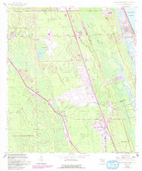
1956 Map of Flagler Beach West
USGS Topo · Published 1993About this map
Korona and Dupont stand as central points of interest in this mid-century Florida landscape, positioned along the transport corridors between the coastal strip and the interior marshlands. The topography is dominated by a complex network of wetlands and seasonal drainages, most notably the expansive Graham Swamp and the dense Swamp lands that transition toward the Intracoastal Waterway and the Atlantic Ocean. The map documents the early infrastructure of the region, including the Flagler County Airport and the historical path of the Old Kings Road.
Find a feature on this map
27 named features on this map. Tap any name to fly to it.
Don’t see what you’re looking for? This feature index may not catch every label — zoom into the map to look around manually.
Map Details
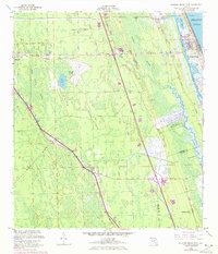
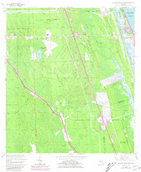
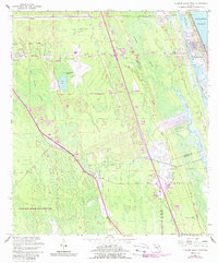
Editions of this 1956 Flagler Beach West Map
5 editions found

Other maps of this area

1927 · Matanzas
USGS Topo · 1:48,000

1937 · Dinner Island
USGS Topo · 1:48,000

1937 · Ormond
USGS Topo · 1:48,000

1943 · Dinner Island
USGS Topo · 1:62,500

1943 · Matanzas
USGS Topo · 1:62,500

1944 · Ormond
USGS Topo · 1:62,500

1944 · Dinner Island
USGS Topo · 1:62,500

1944 · Matanzas
USGS Topo · 1:62,500

1954 · Daytona Beach
USGS Topo · 1:250,000

1956 · Favoretta
USGS Topo · 1:24,000