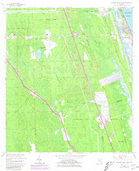
1956 Map of Flagler Beach West
USGS Topo · Published 1981About this map
The Florida East Coast railway corridor dictates the layout of the Florida interior during this mid-century period, connecting the small settlements of Bunnell, Dupont, and Korona. This landscape is defined by the transition from the wet lowlands of Graham Swamp to the coastal waters of the Intracostal Waterway and the Atlantic Ocean. The presence of the Flagler County Airport near Gore Lake highlights the infrastructure expansion of the 1950s, while the historic Bulow Ruins State Monument and Ormond Tomb State Park preserve much older local history. Transportation history is deeply visible through the layout of the Old Dixie Highway and Old Kings Road, which parallel the modern routes of the era. The map also reveals the local geography of Bulow and the winding paths of Smith Creek and Bulow Creek as they feed toward the coast.
Find a feature on this map
25 named features on this map. Tap any name to fly to it.
Don’t see what you’re looking for? This feature index may not catch every label — zoom into the map to look around manually.
Map Details
Editions of this 1956 Flagler Beach West Map
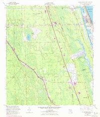
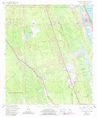
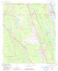
5 editions found

Other maps of this area

1927 · Matanzas
USGS Topo · 1:48,000

1937 · Dinner Island
USGS Topo · 1:48,000

1937 · Ormond
USGS Topo · 1:48,000

1943 · Dinner Island
USGS Topo · 1:62,500

1943 · Matanzas
USGS Topo · 1:62,500

1944 · Ormond
USGS Topo · 1:62,500

1944 · Dinner Island
USGS Topo · 1:62,500

1944 · Matanzas
USGS Topo · 1:62,500

1954 · Daytona Beach
USGS Topo · 1:250,000

1956 · Favoretta
USGS Topo · 1:24,000