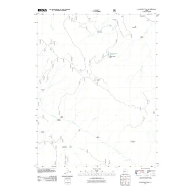
2011 Map of Flagstaff Peak
USGS Topo · Published 2011About this map
Flagstaff Peak and the surrounding high-altitude drainage systems of Sanpete County define this 2011 survey, showing a landscape managed for both recreation and resource protection. The terrain is marked by essential water infrastructure, including Wrigley Springs Dam and the Wrigley Springs Reservoir, which collect flow from Wrigley Creek. This area serves as an active corridor for the Forest Service, anchored by the Stevens Forest Service Facility and a network of named springs like Jason Spring and Birch Spring that sustain the local ecology.
Find a feature on this map
33 named features on this map. Tap any name to fly to it.
Don’t see what you’re looking for? This feature index may not catch every label — zoom into the map to look around manually.
Map Details
Editions of this 2011 Flagstaff Peak Map
This is the sole edition of this map. No revisions or reprints were ever made.
Other maps of this area

1885 · Manti
USGS Topo · 1:250,000

1885 · Fish Lake
USGS Topo · 1:250,000

1895 · Manti
USGS Topo · 1:250,000

1896 · Fish Lake
USGS Topo · 1:250,000

1922 · Wasatch
USGS Topo · 1:31,680

1923 · Castle Dale
USGS Topo · 1:62,500

1925 · Castle Dale
USGS Topo · 1:62,500

1925 · Acord Lakes
USGS Topo · 1:62,500

1956 · Salina
USGS Topo · 1:250,000

1956 · Price
USGS Topo · 1:250,000