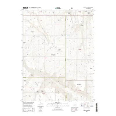
2014 Map of Flagstaff Peak
USGS Topo · Published 2014About this map
Flagstaff Peak rises as a central landmark within the Manti-LaSal National Forest, anchoring a high-elevation landscape where Sanpete, Emery, and Sevier counties meet. This 2014 survey documents a region of the Wasatch Plateau defined by steep drainage systems like Greens Canyon and Box Canyon, alongside the headwaters of Muddy Creek and Ferron Creek. The map provides essential details for those tracing high-country land use, showing the Stevens Forest Service Facility and remote outposts like Jason Cabin. Recreational infrastructure is concentrated in the northeast near the Ferron Canyon Campground and the Ferron Canyon Overlook, while the central plateau is dotted with vital water sources such as Wrigley Springs Reservoir and Birch Spring. The intricate network of hollows, including Dugway Hollow and Slide Hollow, illustrates the complex erosion patterns of the eastern plateau rim.
Find a feature on this map
47 named features on this map. Tap any name to fly to it.
Don’t see what you’re looking for? This feature index may not catch every label — zoom into the map to look around manually.
Map Details
Editions of this 2014 Flagstaff Peak Map
This is the sole edition of this map. No revisions or reprints were ever made.
Other maps of this area

1885 · Manti
USGS Topo · 1:250,000

1885 · Fish Lake
USGS Topo · 1:250,000

1895 · Manti
USGS Topo · 1:250,000

1896 · Fish Lake
USGS Topo · 1:250,000

1922 · Wasatch
USGS Topo · 1:31,680

1923 · Castle Dale
USGS Topo · 1:62,500

1925 · Castle Dale
USGS Topo · 1:62,500

1925 · Acord Lakes
USGS Topo · 1:62,500

1956 · Salina
USGS Topo · 1:250,000

1956 · Price
USGS Topo · 1:250,000