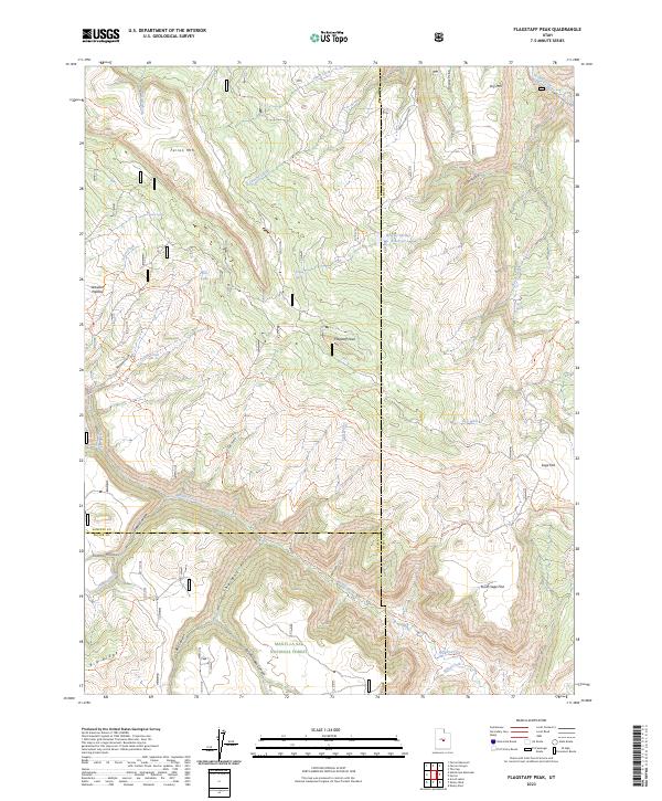
2023 Map of Flagstaff Peak
USGS Topo · Published 2023About this map
Flagstaff Peak and the high elevations of the Wasatch Plateau define this territory within the Manti-La Sal National Forest. The landscape is etched by a complex network of canyons and ridges, including the prominent Big Ridge and the dramatic geological feature known as The Box. Water management is central to the area's geography, evidenced by the Wrigley Springs Reservoir and numerous named water sources such as Wrigley Spring, Jason Spring, and Birch Spring.
Find a feature on this map
50 named features on this map. Tap any name to fly to it.
Don’t see what you’re looking for? This feature index may not catch every label — zoom into the map to look around manually.
Map Details
Editions of this 2023 Flagstaff Peak Map
This is the sole edition of this map. No revisions or reprints were ever made.
Other maps of this area

1885 · Manti
USGS Topo · 1:250,000

1885 · Fish Lake
USGS Topo · 1:250,000

1895 · Manti
USGS Topo · 1:250,000

1896 · Fish Lake
USGS Topo · 1:250,000

1922 · Wasatch
USGS Topo · 1:31,680

1923 · Castle Dale
USGS Topo · 1:62,500

1925 · Castle Dale
USGS Topo · 1:62,500

1925 · Acord Lakes
USGS Topo · 1:62,500

1956 · Salina
USGS Topo · 1:250,000

1956 · Price
USGS Topo · 1:250,000