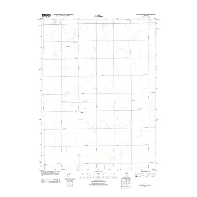
2012 Map of Flanagan South
USGS Topo · Published 2012About this map
Waldo and the rural lands of northern McLean County are defined by a rhythmic grid of country roads and winding prairie streams. This 2012 survey shows the agricultural landscape east of Gridley, where the drainage of Scattering Point Cr and Morehouse Cr shapes the terrain between farmsteads. Local history is anchored by several long-standing burial grounds, including Saint Joseph's Catholic Cem and Gridley Cem, which serve as vital markers for genealogical research in this Illinois township. The presence of Slagel Strip indicates the specialized infrastructure supporting the region's farming economy. The map also traces the meandering path of Pike Cr, providing a clear view of how these small waterways intersect with the section lines and rural routes that have organized this territory for generations.
Find a feature on this map
34 named features on this map. Tap any name to fly to it.
Don’t see what you’re looking for? This feature index may not catch every label — zoom into the map to look around manually.
Map Details
Editions of this 2012 Flanagan South Map
This is the sole edition of this map. No revisions or reprints were ever made.
Other maps of this area

1926 · Normal
USGS Topo · 1:62,500

1930 · Normal
USGS Topo · 1:62,500

1935 · Pontiac
USGS Topo · 1:62,500

1939 · Pontiac
USGS Topo · 1:62,500

1957 · Colfax
USGS Topo · 1:62,500

1958 · Flanagan
USGS Topo · 1:62,500

1958 · Peoria
USGS Topo · 1:250,000

1961 · Peoria
USGS Topo · 1:250,000

1963 · Peoria
USGS Topo · 1:250,000

1981 · Lexington
USGS Topo · 1:24,000