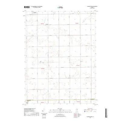
2018 Map of Flanagan South
USGS Topo · Published 2018About this map
Flanagan and Gridley anchor the northern and southern edges of this agricultural landscape in the late 2010s. The region is defined by a rigorous township and range grid, where section lines are traced by local thoroughfares such as E 1400 N Rd and E 1100 North Rd. Despite the dominance of modern industrial farming, the map preserves the locations of early rural community centers, primarily identified by several scattered burial grounds.
Find a feature on this map
31 named features on this map. Tap any name to fly to it.
Don’t see what you’re looking for? This feature index may not catch every label — zoom into the map to look around manually.
Map Details
Editions of this 2018 Flanagan South Map
This is the sole edition of this map. No revisions or reprints were ever made.
Other maps of this area

1926 · Normal
USGS Topo · 1:62,500

1930 · Normal
USGS Topo · 1:62,500

1935 · Pontiac
USGS Topo · 1:62,500

1939 · Pontiac
USGS Topo · 1:62,500

1957 · Colfax
USGS Topo · 1:62,500

1958 · Flanagan
USGS Topo · 1:62,500

1958 · Peoria
USGS Topo · 1:250,000

1961 · Peoria
USGS Topo · 1:250,000

1963 · Peoria
USGS Topo · 1:250,000

1981 · Lexington
USGS Topo · 1:24,000