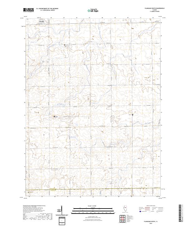
2024 Map of Flanagan South
USGS Topo · Published 2024About this map
Flanagan sits at the northern edge of this agricultural landscape, where the rectilinear grid of Livingston County roads meets the headwaters of several regional drainages. The area is defined by a series of cemeteries that anchor the local genealogy, including Saint Josephs Cem and Waldo Cem to the west, and Pike Cem situated further east near the banks of Pike Creek. These sites, along with Gridley Cem on the southern border, reflect the generational settlement of this prairie region.
Find a feature on this map
36 named features on this map. Tap any name to fly to it.
Don’t see what you’re looking for? This feature index may not catch every label — zoom into the map to look around manually.
Map Details
Editions of this 2024 Flanagan South Map
This is the sole edition of this map. No revisions or reprints were ever made.
Other maps of this area

1926 · Normal
USGS Topo · 1:62,500

1930 · Normal
USGS Topo · 1:62,500

1935 · Pontiac
USGS Topo · 1:62,500

1939 · Pontiac
USGS Topo · 1:62,500

1957 · Colfax
USGS Topo · 1:62,500

1958 · Flanagan
USGS Topo · 1:62,500

1958 · Peoria
USGS Topo · 1:250,000

1961 · Peoria
USGS Topo · 1:250,000

1963 · Peoria
USGS Topo · 1:250,000

1981 · Lexington
USGS Topo · 1:24,000