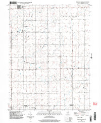
1998 Map of Flanagan South
USGS Topo · Published 2003About this map
Salem Childrens Home and its surrounding Salem Park stand out as a central community hub in this late-twentieth-century landscape of northern Illinois. The terrain is defined by the regular grid of township boundaries including Nebraska, Rooks Creek, Waldo, and Pike. These townships are drained by a series of south-flowing waterways like Scattering Point Creek, Morehouse Creek, and Pike Creek, which weave through the agricultural sections.
Find a feature on this map
21 named features on this map. Tap any name to fly to it.
Don’t see what you’re looking for? This feature index may not catch every label — zoom into the map to look around manually.
Map Details
Editions of this 1998 Flanagan South Map
This is the sole edition of this map. No revisions or reprints were ever made.
Other maps of this area

1926 · Normal
USGS Topo · 1:62,500

1930 · Normal
USGS Topo · 1:62,500

1935 · Pontiac
USGS Topo · 1:62,500

1939 · Pontiac
USGS Topo · 1:62,500

1957 · Colfax
USGS Topo · 1:62,500

1958 · Flanagan
USGS Topo · 1:62,500

1958 · Peoria
USGS Topo · 1:250,000

1961 · Peoria
USGS Topo · 1:250,000

1963 · Peoria
USGS Topo · 1:250,000

1981 · Lexington
USGS Topo · 1:24,000