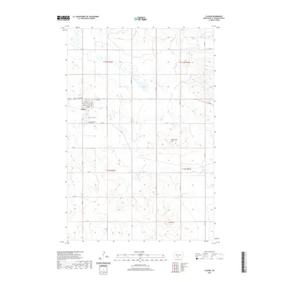
2020 Map of Flasher
USGS Topo · Published 2020About this map
Flasher serves as the primary hub of this Morton County landscape, where a grid of local streets including Church St, College St, and N Main St centers the community. The town's layout reflects its role as a regional center, surrounded by three distinct burial grounds: Hillside Cem, Fair Hill Cem, and Saint Lawrence Catholic Cem. This concentration of local landmarks provides a clear focal point for genealogical research within the larger agricultural township structure.
Find a feature on this map
38 named features on this map. Tap any name to fly to it.
Don’t see what you’re looking for? This feature index may not catch every label — zoom into the map to look around manually.
Map Details
Editions of this 2020 Flasher Map
This is the sole edition of this map. No revisions or reprints were ever made.
Other maps of this area

1954 · Bismarck
USGS Topo · 1:250,000

1958 · Bismarck
USGS Topo · 1:250,000

1971 · Timmer
USGS Topo · 1:24,000

1980 · Otter Creek East
USGS Topo · 1:24,000

1980 · Freda
USGS Topo · 1:24,000

1980 · Burgess
USGS Topo · 1:24,000

1980 · Dogtooth Buttes
USGS Topo · 1:24,000

1980 · Raleigh
USGS Topo · 1:24,000

1980 · Nygren Dam
USGS Topo · 1:24,000
1980 · Elgin
USGS Topo · 1:100,000