
1980 Map of Nygren Dam
USGS Topo · Published 1980About this map
The Heart River winds through the northwestern corner of this Morton County landscape, carving into the high plains of the Missouri Plateau. This 1980 edition documents the rural character of the region during a period of agricultural stability, highlighting local water management through features like Nygren Dam. The terrain is defined by the prominent Oak Coulee Ridge in the northeast, while the southern reach is drained by the meandering Chanta Peta Creek. Small pockets of development like Mackey and several scattered wells indicate the reliance on groundwater for the ranching and farming operations that dominate the area's geography. The map reveals a high density of fence lines and section corners, reflecting the established township and range system that organized this part of North Dakota's heartland.
Find a feature on this map
6 named features on this map. Tap any name to fly to it.
Don’t see what you’re looking for? This feature index may not catch every label — zoom into the map to look around manually.
Map Details
Editions of this 1980 Nygren Dam Map
This is the sole edition of this map. No revisions or reprints were ever made.
Other maps of this area

1954 · Bismarck
USGS Topo · 1:250,000

1958 · Bismarck
USGS Topo · 1:250,000

1980 · Green Ridge
USGS Topo · 1:24,000

1980 · Otter Creek East
USGS Topo · 1:24,000

1980 · Fallon NE
USGS Topo · 1:24,000

1980 · Burgess
USGS Topo · 1:24,000

1980 · Dogtooth Buttes
USGS Topo · 1:24,000
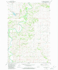
1980 · Fish Creek Lake
USGS Topo · 1:24,000
1980 · Elgin
USGS Topo · 1:100,000
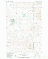
1980 · Flasher
USGS Topo · 1:24,000