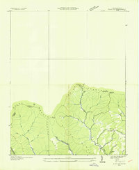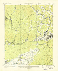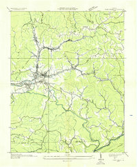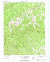
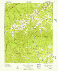
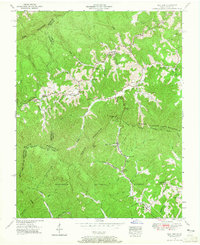
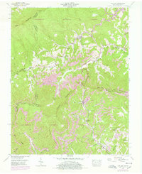
1955 Map of Flat Gap
USGS Topo · Published 1974About this map
Pine Mountain and Black Mountain dominate this mid-century survey along the high ridge boundary between Kentucky and Virginia. The landscape is defined by the Tennessee-Virginia divide, where narrow hollows and creek beds provide the primary sites for small mountain settlements. In the center of the sheet, the community of Flat Gap serves as a local hub near Flat Gap Church and the Bolling Cem. The distribution of rural landmarks, such as Cane Patch Church near Gilley and Marthas Chapel near Dewey, reveals a social geography tied to these isolated valleys and gaps.
Find a feature on this map
55 named features on this map. Tap any name to fly to it.
Don’t see what you’re looking for? This feature index may not catch every label — zoom into the map to look around manually.
Map Details
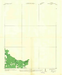
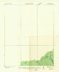
Editions of this 1955 Flat Gap Map
5 editions found

Historical Maps of Pound Through Time
9 maps found